Ogilville, Indiana
| Ogilville | |
|---|---|
| Unincorporated community | |
 Meyer Grocery in Ogilville | |
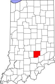 Bartholomew County's location in Indiana | |
 Ogilville Location in Bartholomew County | |
| Coordinates: 39°07′33″N 86°00′55″W / 39.12583°N 86.01528°WCoordinates: 39°07′33″N 86°00′55″W / 39.12583°N 86.01528°W | |
| Country | United States |
| State | Indiana |
| County | Bartholomew |
| Township | Ohio |
| Elevation[1] | 633 ft (193 m) |
| ZIP code | 47201 |
| FIPS code | 18-56106[2] |
| GNIS feature ID | 440518 |
Ogilville is an unincorporated community in Ohio Township, Bartholomew County, Indiana. The community is located along State Road 58 close to where it crosses over East Fork White Creek. It is located southwest on SR 58 of North Ogilville.
History
A post office was established at Ogilville in 1893, and remained in operation until it was discontinued in 1931.[3] It was likely named for the Ogilvie family of settlers.[4] /* History */ The town was originally named Moore's Vineyard and was first started in 1850 with the opening of a grist and saw mill along with a general store. At the same time in 1850, Burris Moore was the first Postmaster. The original name was changed to Ogleville around 1889.
Geography
Ogilville is located at 39°07′33″N 86°00′55″W / 39.12583°N 86.01528°W.
References
- ↑ "US Board on Geographic Names". United States Geological Survey. 2007-10-25. Retrieved 2008-01-31.
- ↑ "American FactFinder". United States Census Bureau. Archived from the original on September 11, 2013. Retrieved 2008-01-31.
- ↑ "Bartholomew County". Jim Forte Postal History. Retrieved 27 August 2014.
- ↑ Baker, Ronald L. (October 1995). From Needmore to Prosperity: Hoosier Place Names in Folklore and History. Indiana University Press. p. 250. ISBN 978-0-253-32866-3.
A lot of Ogilvies lived around there...
Municipalities and communities of Bartholomew County, Indiana, United States | ||
|---|---|---|
| City | ||
| Towns | ||
| Townships | ||
| CDP | ||
| Other unincorporated communities |
| |
| Footnotes | ‡This populated place also has portions in an adjacent county or counties | |