Ocnița, Transnistria
| Ocnița Окница | |
|---|---|
| Village | |
 Ocnița | |
| Coordinates: 48°7′55″N 28°38′25″E / 48.13194°N 28.64028°E | |
| Country |
|
| Administrative territorial entity | Transnistria autonomous territorial unit |
| Elevation | 69 m (226 ft) |
| Population (2004) | 815 |
| Time zone | UTC+2 (EET) |
| • Summer (DST) | UTC+3 (EEST) |
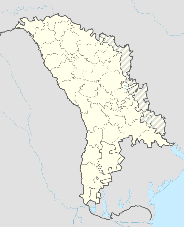
Ocnița (Ukrainian: Окниця, Russian: Окница) is a village in the Camenca sub-district of Transnistria, Moldova.[1] It is currently under the administration of the breakaway government of the Transnistrian Moldovan Republic.
Coordinates: 48°07′59″N 28°38′10″E / 48.13306°N 28.63611°E
References
This article is issued from
Wikipedia.
The text is licensed under Creative Commons - Attribution - Sharealike.
Additional terms may apply for the media files.