Crasnogorca
| Crasnogorca Красногорка (Russian) Красногірка (Ukrainian) | |
|---|---|
| Village | |
 Crasnogorca | |
| Coordinates: 46°57′46″N 29°27′23″E / 46.96278°N 29.45639°E | |
| Country |
|
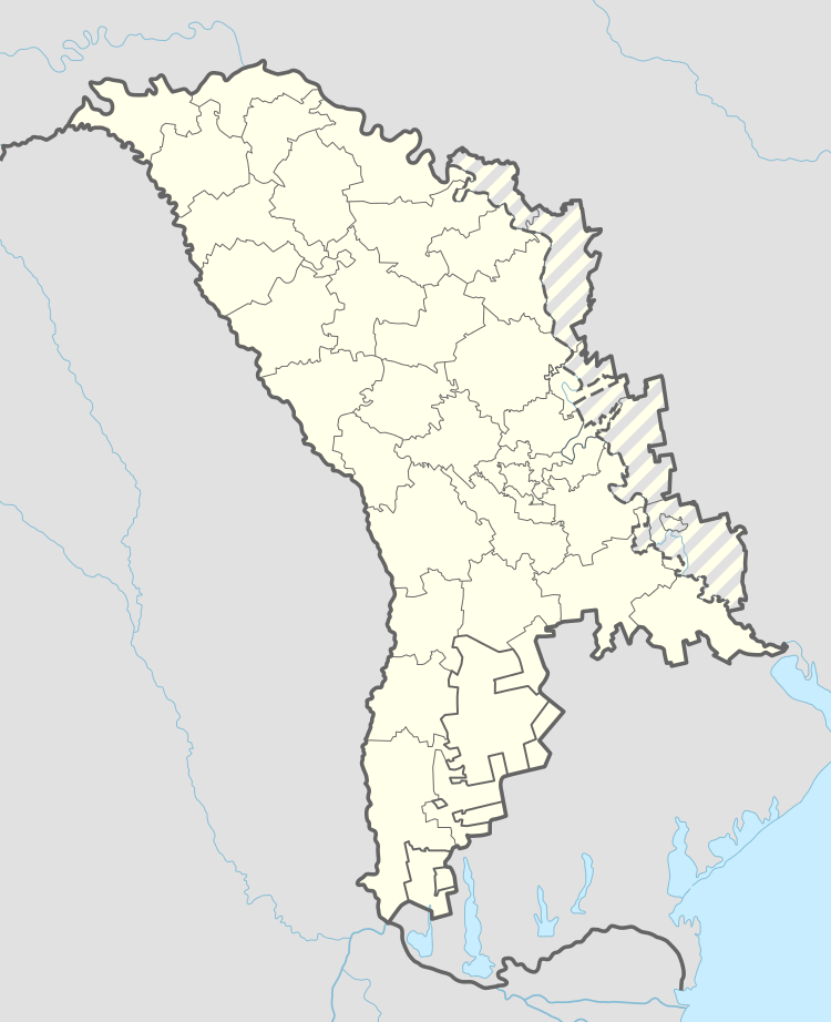
| Administrative territorial entity | Transnistria autonomous territorial unit |
| Elevation | 66 m (217 ft) |
| Time zone | UTC+2 (EET) |
| • Summer (DST) | UTC+3 (EEST) |
| Postal code | MD-4017 |
Crasnogorca (Ukrainian: Красногірка, Krasnohirka, Russian: Красногорка, Krasnogorka) is a village in the Grigoriopol sub-district of Transnistria, Moldova.[1] It is currently under the administration of the breakaway government of the Transnistrian Moldovan Republic. Prior to World War II it was in and on the western border of Ukraine, directly across the Dniester River from Romania.
References
This article is issued from
Wikipedia.
The text is licensed under Creative Commons - Attribution - Sharealike.
Additional terms may apply for the media files.