Nyamata
| Nyamata | |
|---|---|
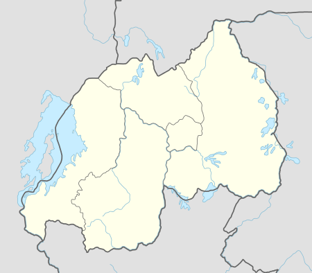 Nyamata Location in Rwanda | |
| Coordinates: 02°12′18″S 30°08′42″E / 2.20500°S 30.14500°E | |
| Country |
|
| Province | Eastern Province |
| District | Bugesera District |
| Area | |
| • Total | 95 km2 (37 sq mi) |
| Elevation | 1,340 m (4,400 ft) |
| Population (2012 census) | |
| • Total | 34,922 |
| • Density | 370/km2 (950/sq mi) |
| Climate | Aw |
Nyamata is a town in southeastern Rwanda. Nyamata literally means "place of milk" from the two Kinyarwanda words "nya-" (of) and "amata" (milk).[1]
Location
Nyamata is located in Bugesera District, Eastern Province, directly south of Kigali, the national capital and the largest city in the country. Its location is about 39 kilometres (24 mi), by road, south of Kigali.[2] The coordinates of the town are:02 12 18S, 30 08 42E (Latitude:-2.2050; Longitude:30.1450).[3]
History
It is not well known what happened in the region before 1900. In 1900 however, there was a war between the Kingdom of Rwanda-Rwagasabo with Cyirima as the King, and the Kingdom of Bugesera whose King was Nsoro. Bugesera won the war, Nsoro captured Cyirima but did not kill him nor did he acquire the territory of Rwanda-Rwagasabo. After Nsoro died his son Ruganzu Ndori became King. Ruganzu Ndori was the last king of Bugesera, he died in 1962 when Rwanda became a republic.
Overview

Nyamata is a small town in Bugesera District, Rwanda. A new airport, Bugesera International Airport, is under construction , since August 2017, with the first phases expected to be completed in 2019.[4]
The town is also the location of Nyamata Genocide Memorial. Located at the site where Nyamata Parish Catholic Church once stood, the memorial contains the remains of over 45,000 genocide victims, almost all of whom were Tutsi, including over 10,000 who were massacred inside the church itself. [1][5]
Population
According to the national population census of 15 August 2012, the population of Nyamata was 34,922 people.[6]
Points of interest
The following points of interest lie within the town limits or close to the edges of town: (a) Nyamata Genocide Memorial Centre, (b) the offices of Nyamata Town Council, (c) Nyamata central market (d) a branch of the Bank of Kigali, (e) a branch of the Urwego Opportunity Bank and (f) Bugesera International Airport, near the town of Rilima.[7]
See also
References
- 1 2 John Muhaise Bikalemesa (2016). "Nyamata Genocide Memorial". Kampala: FortuneofAfrica.com. Retrieved 22 September 2017.
- ↑ GFC (22 September 2017). "Distance between Kigali City, Rwanda and Nyamata, Eastern Province, Rwanda". Globefeed.com (GFC). Retrieved 22 September 2017.
- ↑ Google (22 September 2017). "Location of Nyamata, Bugesera District, Eastern Province, Rwanda" (Map). Google Maps. Google. Retrieved 22 September 2017.
- ↑ Rwirahira, Rodrigues (14 August 2017). "Construction work on Bugesera Airport starts". The EastAfrican. Nairobi. Retrieved 22 September 2017.
- ↑ Bosco R. Asiimwe (6 May 2010). "Police pay respect to Nyamata Genocide victims". New Times (Rwanda). Kigali. Retrieved 22 September 2017.
- ↑ NISR (15 August 2012). "Population of Nyamata Sector in Rwanda". Kigali: Citypopulation.de Quoting National Institute of Statistics of Rwanda (NISR). Retrieved 22 September 2017.
- ↑ Mwai, Collins (11 August 2017). "Rwanda:Bugesera Residents Eye Jobs as Works on New Airport Take Off". New Times (Rwanda). Kigali. Retrieved 18 August 2017.