Nughedu Santa Vittoria
| Nughedu Santa Vittoria Nughedu Santa Itòria | ||
|---|---|---|
| Comune | ||
| Comune di Nughedu Santa Vittoria | ||
.JPG) Parish church. | ||
| ||
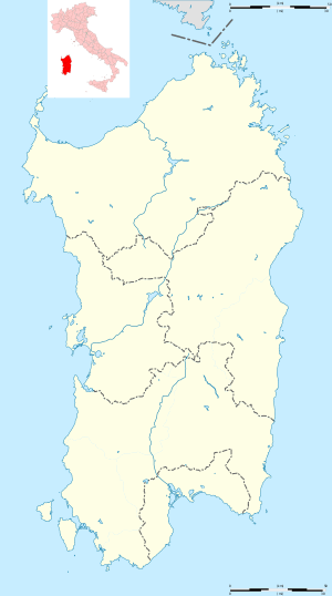 Nughedu Santa Vittoria Location of Nughedu Santa Vittoria in Sardinia | ||
| Coordinates: 40°6′N 8°57′E / 40.100°N 8.950°E | ||
| Country | Italy | |
| Region | Sardinia | |
| Province | Oristano (OR) | |
| Government | ||
| • Mayor | Francesco Mura | |
| Area | ||
| • Total | 28.6 km2 (11.0 sq mi) | |
| Elevation | 533 m (1,749 ft) | |
| Population (30 November 2017)[1] | ||
| • Total | 474 | |
| • Density | 17/km2 (43/sq mi) | |
| Demonym(s) | Nughedesi | |
| Time zone | UTC+1 (CET) | |
| • Summer (DST) | UTC+2 (CEST) | |
| Postal code | 09080 | |
| Dialing code | 0783 | |
| Website | Official website | |
Nughedu Santa Vittoria (Sardinian: Nughèdu) is a comune (municipality) in the Province of Oristano in the Italian region of Sardinia, located about 100 kilometres (62 mi) north of Cagliari and about 40 kilometres (25 mi) northeast of Oristano.
Nughedu Santa Vittoria borders the municipalities of Ardauli, Austis, Bidonì, Neoneli, Olzai and Sorradile. It is home to a number of prehistoric structures, including several domus de janas and a proto-nuraghe.
References
| Wikimedia Commons has media related to Nughedu Santa Vittoria. |
- ↑ All demographics and other statistics: National Institute of Statistics (Italy) (Istat).

This article is issued from
Wikipedia.
The text is licensed under Creative Commons - Attribution - Sharealike.
Additional terms may apply for the media files.