Nuatambu
| Nuatambu Island | |
|---|---|
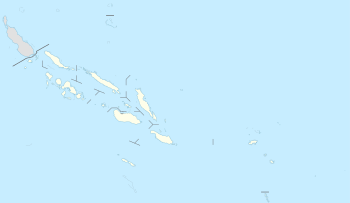 Nuatambu Island Location in the Solomon Islands | |
| Coordinates: 007°07′26.42″S 157°09′39.99″E / 7.1240056°S 157.1611083°E | |
| Country | Solomon Islands |
| Province | Choiseul Province |
Nuatambu was an island in the Solomon Islands; it was located in Choiseul Province. Nuatambu was home to 25 families before it sunk. [1]
In 1962, the island had an area of 30,080 square meters. In 2014, the area was measured as 13,980 square meters. The difference has been attributed to the rise in sea level due to climate change.[1][2]
References
- 1 2 "Five Pacific islands lost to rising seas as climate change hits". The Guardian. 10 May 2016. Retrieved 2016-05-10.
One was Nuatambu Island, home to 25 families, which has lost 11 houses and half its inhabitable area since 2011, the research said.
- ↑ Albert, Simon. "Interactions between sea-level rise and wave exposure on reef island dynamics in the Solomon Islands". IOP Science. IOP Publishing. Retrieved 9 May 2016.
External links
This article is issued from
Wikipedia.
The text is licensed under Creative Commons - Attribution - Sharealike.
Additional terms may apply for the media files.