Notikewin Provincial Park
| Notikewin Provincial Park | |
|---|---|
|
IUCN category II (national park) | |
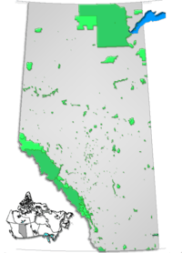
 Location of Notikewin Provincial Park in Canada | |
| Location | County of Northern Lights, Alberta, Canada |
| Nearest city | Manning, Peace River |
| Coordinates | 57°13′14″N 117°08′25″W / 57.22056°N 117.14028°WCoordinates: 57°13′14″N 117°08′25″W / 57.22056°N 117.14028°W |
| Area | 119 km2 (46 sq mi) |
| Established | November 20, 1979 |
| Governing body | Alberta Tourism, Parks and Recreation |
Notikewin Provincial Park is a provincial park located in northwestern Alberta, Canada, 37 kilometres (23 mi) east of Manning.
The park is located at the confluence of the Peace River (which surrounds the park on three sides) and Notikewin River. Crummy Lake is also located in the park. At almost 120 km2 (46 sq mi), it is one of the largest provincial parks in Alberta, and the northern most to be listed as such (Wood Buffalo National Park and other wildland parks are situated higher up north).
Activities
The park has amenities for camping on the Peace River beach, at the Notikewin Campground,[1] and two day-use areas, at Notikewin Hilltop and Notikewin Shore. Power boating is allowed. Recreational activities in the park include bird watching and wildlife viewing, canoeing, fishing, front country hiking.
See also
References
- ↑ Alberta Tourism, Parks, Recreation & Culture. "Activities in Notikewin Provincial Park". Retrieved 2010-03-17.
External links
- Alberta Tourism, Parks, Recreation & Culture. "Notikewin Provincial Park". Retrieved 2010-03-17.