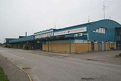
Norrköping Airport
| Norrköping Airport | |||||||||||
|---|---|---|---|---|---|---|---|---|---|---|---|
 | |||||||||||
| Summary | |||||||||||
| Airport type | Public | ||||||||||
| Operator | Norrköping Municipality | ||||||||||
| Location | Norrköping | ||||||||||
| Elevation AMSL | 32 ft / 5 m | ||||||||||
| Coordinates | 58°35′10″N 016°13′54″E / 58.58611°N 16.23167°ECoordinates: 58°35′10″N 016°13′54″E / 58.58611°N 16.23167°E | ||||||||||
| Map | |||||||||||
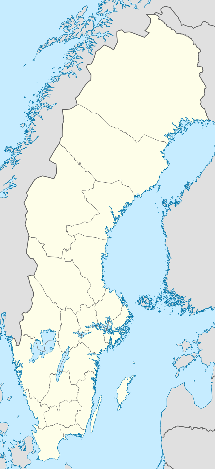 NRK Location of airport in Sweden | |||||||||||
| Runways | |||||||||||
| |||||||||||
| Statistics (2016) | |||||||||||
| |||||||||||
Norrköping Airport (IATA: NRK, ICAO: ESSP) is an airport situated around 3 km from the city center of Norrköping, Sweden. In 2013, it had 109 160 passengers, which represented a decrease of 1.7% compared to the previous year, making Norrköping Airport the 22nd busiest airport in Sweden.
History
The airport was founded in 1934. It had the highest number of passengers in the 1980s, and has declined since. The connection to Stockholm was closed down in 2001 because of improvements in highway connections to Stockholm, and train connection to Arlanda (so passengers planning to fly from Arlanda could use the train instead of an expensive air connection).
Airlines and destinations
As of April 2016, flybmi is the only airline to fly scheduled services from the airport. There are also several charter airlines flying from Norrköping Airport to different destinations in collaboration with charter operators. There are also cargo flights.
| Airlines | Destinations |
|---|---|
| BRA Braathens Regional Airlines | Seasonal: Visby |
| Corendon Airlines | Seasonal charter: Antalya |
| flybmi | Munich |
| Freebird Airlines | Seasonal charter: Antalya |
| Jet Time | Seasonal charter: Antalya, Chania, Gran Canaria, Larnaca, Palma de Mallorca, Rhodes |
| Malmö Aviation | Seasonal charter: Split |
| Scandjet | Seasonal charter: Rijeka |
| Thomas Cook Airlines Scandinavia | Seasonal charter: Palma de Mallorca, Rhodes, Tenerife-South |
| TUIfly Nordic | Seasonal charter: Alghero, Sal, Cape Verde |
See also
References
External links
![]()