Örnsköldsvik Airport
| Örnsköldsvik Airport | |||||||||||
|---|---|---|---|---|---|---|---|---|---|---|---|
 | |||||||||||
 | |||||||||||
| Summary | |||||||||||
| Airport type | Public | ||||||||||
| Operator | Municipality of Örnsköldsvik (since April 1st 2011) | ||||||||||
| Location | Örnsköldsvik | ||||||||||
| Elevation AMSL | 354 ft / 108 m | ||||||||||
| Coordinates | 63°24′30″N 018°59′24″E / 63.40833°N 18.99000°ECoordinates: 63°24′30″N 018°59′24″E / 63.40833°N 18.99000°E | ||||||||||
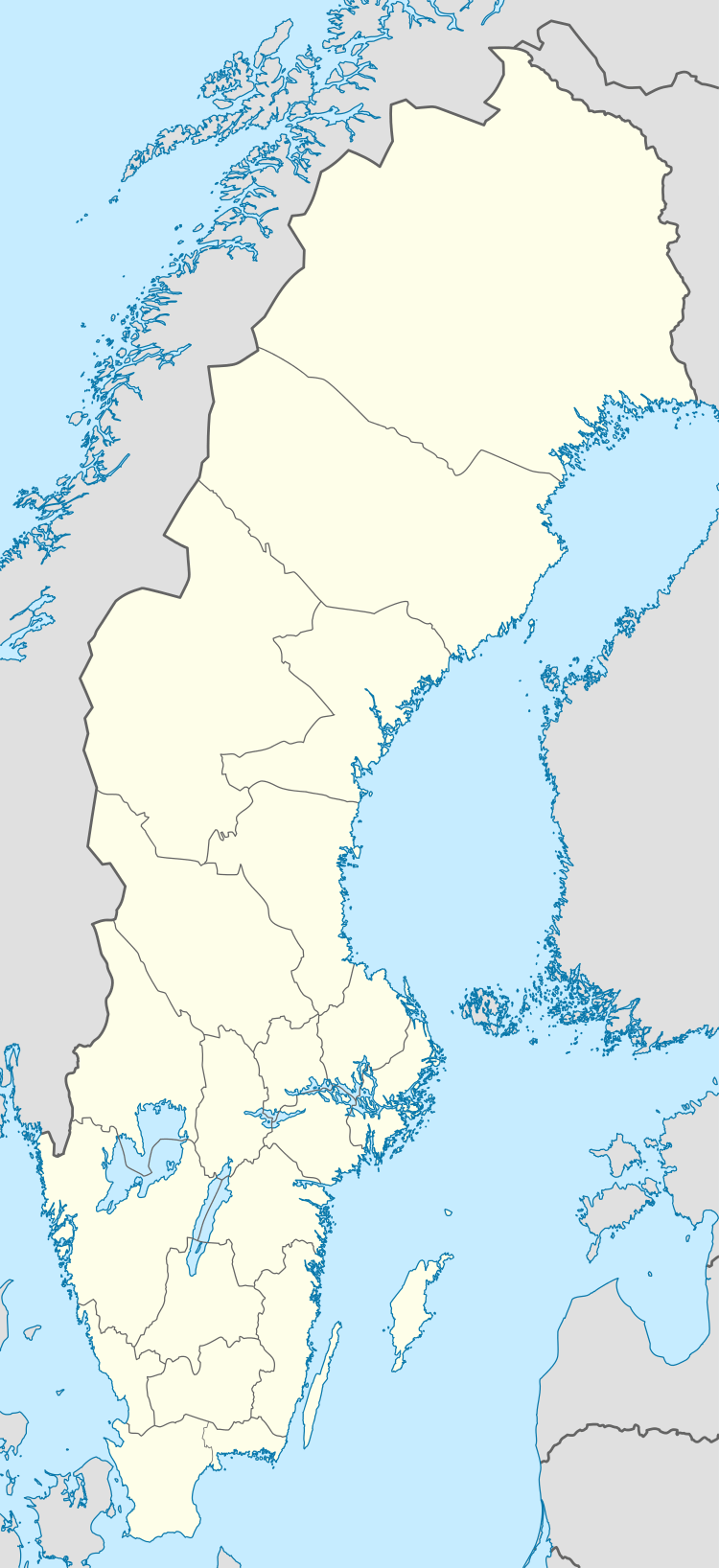
| Map | |||||||||||
 OER Location of airport in Sweden | |||||||||||
| Runways | |||||||||||
| |||||||||||
| Statistics (2016) | |||||||||||
| |||||||||||
|
Statistics: Swedavia[1] | |||||||||||
Örnsköldsvik Airport (IATA: OER, ICAO: ESNO), is a regional airport located 24 km (15 mi) northeast of Örnsköldsvik, Sweden, at Husum, built in 1961.
History
The airport had 80,123 passengers in 2013 and a record of 165,712 in 2000. On 31 October 2014, Örnsköldsvik airport received permission to have the first remote controlled air control tower in the world. The tower is controlled from Sundsvall-Timrå Airport.[2]
Airlines and destinations
| Airlines | Destinations |
|---|---|
| Corendon Airlines | Seasonal charter: Gazipasa |
| Croatia Airlines | Seasonal charter: Split |
| Scandinavian Airlines | Stockholm-Arlanda[3] |
References
- ↑ "Statistics". Swedavia. Archived from the original on 18 April 2011. Retrieved 18 April 2011.
- ↑ First remotely operated Air Traffic Control tower approved
- ↑ http://www.finchannel.com/tourism-and-travel/68037-sas-to-launch-service-to-oernskoeldsvik
External links
- (in Swedish) Örnsköldsvik Airport
- Airport information for ESNO at World Aero Data. Data current as of October 2006.
This article is issued from
Wikipedia.
The text is licensed under Creative Commons - Attribution - Sharealike.
Additional terms may apply for the media files.