Niuatoputapu Airport
| Niuatoputapu Airport Mata'aho Airport | |||||||||||
|---|---|---|---|---|---|---|---|---|---|---|---|
| Summary | |||||||||||
| Airport type | Public | ||||||||||
| Owner | Government | ||||||||||
| Operator | Ministry of Civil Aviation[1] | ||||||||||
| Location | Hihifo, Niuatoputapu, Tonga | ||||||||||
| Coordinates | 15°58′36″S 173°47′30″W / 15.97667°S 173.79167°WCoordinates: 15°58′36″S 173°47′30″W / 15.97667°S 173.79167°W | ||||||||||
| Website | www.tongaairports.com | ||||||||||
| Map | |||||||||||
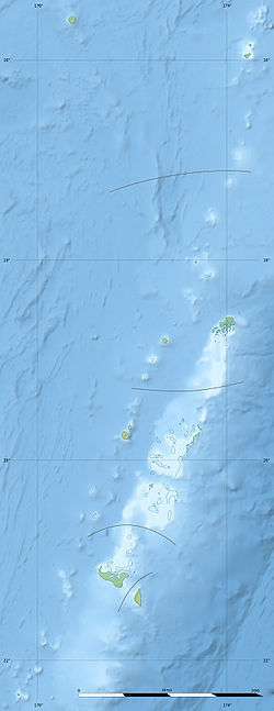 NFTP Location of airport in Tonga | |||||||||||
| Runways | |||||||||||
| |||||||||||
Niuatoputapu Airport (IATA: NTT, ICAO: NFTP), also known as Mata'aho Airport, is an airport in Niuatoputapu, Tonga. The airfield is an unsealed coral strip.[2]
Damage to the airport from the 2009 Samoa earthquake and tsunami caused it to be temporarily closed following the disaster.[3] This disabled the rest of the country from providing aid to the Niuatoputapu residents as mud and debris on the runway made it unsuitable for any aircraft to land.
A small cinder block building acts as terminal and airport office. Fuel drums are located next to the terminal.
Connections to other parts of the island are made by taxi.[2]
Airlines and destinations
| Airlines | Destinations |
|---|---|
| Real Tonga | Nukuʻalofa, Vava'u[2] |
References
- ↑ "Home - Tonga Airports Limited". Tonga Airports Limited.
- 1 2 3 "Mata'aho Airport - Niuatoputapu - Tonga Airports Limited".
- ↑ "Seven confirmed dead from tsunami in Tonga". Associated Press. Radio New Zealand International. 2009-09-30. Retrieved 2009-09-30.
This article is issued from
Wikipedia.
The text is licensed under Creative Commons - Attribution - Sharealike.
Additional terms may apply for the media files.