Ningerum
| Ningerum | |
|---|---|
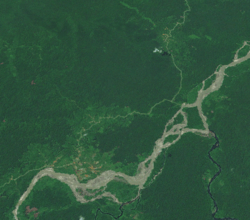 Ningerum township from space | |
 Ningerum Location within Papua New Guinea | |
| Coordinates: 5°40′S 141°8′E / 5.667°S 141.133°E | |
| Country | Papua New Guinea |
| Province | Western Province |
| District | North Fly |
| LLG | Niingerum Rural |
| Elevation | 90 m (300 ft) |
| Population (2006 est) | |
| • Total | 5,000 |
| • Rank | 26th |
| Languages | |
| • Main languages | Tok Pisin, English |
| • Traditional language | Ninggerum |
| Time zone | UTC+10 (AEST) |
| Climate | Af |
Ningerum is a small town on the Kiunga-Tabubil Highway, about equidistant between the two centres of Kiunga and Tabubil. Ningerum is the seat of the Ningerum Rural LLG, which was the second most populous LLG in the North Fly District of the Western Province of Papua New Guinea during the 2000 census. The town is served by Ningerum Airport.
The township itself has a population of roughly 5000 people, a few regional stores and an airport. The Ningerum is also the name for the people inhabiting this region who are noted for their therapeutic knowledge.[1]
References
This article is issued from
Wikipedia.
The text is licensed under Creative Commons - Attribution - Sharealike.
Additional terms may apply for the media files.