Nedelya Point
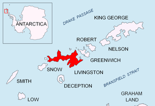

Nedelya Point (Bulgarian: нос Неделя, ‘Nos Nedelya’ \'nos ne-'de-lya\) is a sharp ice-free point at the southwest extremity of Ivanov Beach on the north coast of Livingston Island in the South Shetland Islands, Antarctica projecting 300 m into Barclay Bay. It is situated 1.8 km southwest of Bilyar Point, 1.58 km northeast of Sparadok Point and 2.86 km east of Lair Point. Linked by a chain of rocks to Cutler Stack located 310 m to the north-northwest.
The point is named after the Bulgarian educator Nedelya Petkova – ‘Baba (Grandma) Nedelya’ (1826–1894).
Location
Nedelya Point is located at 62°36′55.6″S 60°58′48.5″W / 62.615444°S 60.980139°WCoordinates: 62°36′55.6″S 60°58′48.5″W / 62.615444°S 60.980139°W. British mapping in 1968, Chilean in 1971, Argentine in 1980, Spanish in 1993 and Bulgarian in 2005 and 2009.
Maps
- Península Byers, Isla Livingston. Mapa topográfico a escala 1:25000. Madrid: Servicio Geográfico del Ejército, 1992.
- L.L. Ivanov et al. Antarctica: Livingston Island and Greenwich Island, South Shetland Islands. Scale 1:100000 topographic map. Sofia: Antarctic Place-names Commission of Bulgaria, 2005.
- L.L. Ivanov. Antarctica: Livingston Island and Greenwich, Robert, Snow and Smith Islands. Scale 1:120000 topographic map. Troyan: Manfred Wörner Foundation, 2009. ISBN 978-954-92032-6-4
References
- Nedelya Point. SCAR Composite Gazetteer of Antarctica.
- Bulgarian Antarctic Gazetteer. Antarctic Place-names Commission. (details in Bulgarian, basic data in English)
This article includes information from the Antarctic Place-names Commission of Bulgaria which is used with permission.