Myklebost, Sandøy
| Myklebost | |
|---|---|
| Village | |
|
View of Myklebost on the south coast of Harøya | |
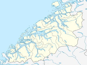
 Myklebost Location in Møre og Romsdal  Myklebost Myklebost (Norway) | |
| Coordinates: 62°43′56″N 06°26′50″E / 62.73222°N 6.44722°ECoordinates: 62°43′56″N 06°26′50″E / 62.73222°N 6.44722°E | |
| Country | Norway |
| Region | Western Norway |
| County | Møre og Romsdal |
| District | Romsdal |
| Municipality | Sandøy Municipality |
| Elevation[1] | 20 m (70 ft) |
| Time zone | UTC+01:00 (CET) |
| • Summer (DST) | UTC+02:00 (CEST) |
| Post Code | 6488 Myklebost |
Myklebost is a village on the southern end of Harøya island in Sandøy Municipality in Møre og Romsdal county, Norway. The village is about 7 kilometres (4.3 mi) south of the municipal center of Steinshamn. There are ferry connections from Myklebost to Fjørtofta and Brattvåg in Haram Municipality and to Dryna in Midsund Municipality. The Myklebost area was a part of Haram Municipality until 1965.[2] Harøy Church is located about 5 kilometres (3.1 mi) north of the village.
References
- ↑ "Myklebust" (in Norwegian). yr.no. Retrieved 2010-10-22.
- ↑ Jukvam, Dag (1999). "Historisk oversikt over endringer i kommune- og fylkesinndelingen" (PDF) (in Norwegian). Statistisk sentralbyrå.
This article is issued from
Wikipedia.
The text is licensed under Creative Commons - Attribution - Sharealike.
Additional terms may apply for the media files.