Mutare Airport
| Mutare Airport | |||||||||||
|---|---|---|---|---|---|---|---|---|---|---|---|
| Summary | |||||||||||
| Airport type | Public | ||||||||||
| Serves | Mutare, Zimbabwe | ||||||||||
| Elevation AMSL | 3,410 ft / 1,039 m | ||||||||||
| Coordinates | 18°59′50″S 32°37′40″E / 18.99722°S 32.62778°ECoordinates: 18°59′50″S 32°37′40″E / 18.99722°S 32.62778°E | ||||||||||
| Map | |||||||||||
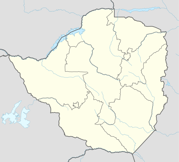 FVMU Location of airport in Zimbabwe | |||||||||||
| Runways | |||||||||||
| |||||||||||
Mutare Airport (IATA: UTA, ICAO: FVMU) is an airport serving Mutare, the fourth largest city in Zimbabwe and the capital of its Manicaland province.
The Mutare non-directional beacon (Ident: MU) is located on a ridgeline 4.5 nautical miles (8.3 km) northeast of the field.[4][5]
See also
References
- ↑ Airport information for FVMU from DAFIF (effective October 2006)
- ↑ Airport information for UTA at Great Circle Mapper.
- ↑ Google Maps - Mutare
- ↑ "SkyVector: Flight Planning / Aeronautical Charts". skyvector.com. Retrieved 2018-09-03.
- ↑ "Mutare NDB (MU) @ OurAirports". ourairports.com. Retrieved 2018-09-03.
External links
- Aeronautical chart for FVMU at SkyVector
- Accident history for UTA at Aviation Safety Network
- Mutare Airport
- Mutare
- OpenStreetMap - Mutare
This article is issued from
Wikipedia.
The text is licensed under Creative Commons - Attribution - Sharealike.
Additional terms may apply for the media files.