Mhangura Airport
| Mhangura Airport | |||||||||||
|---|---|---|---|---|---|---|---|---|---|---|---|
| Summary | |||||||||||
| Airport type | Public (abandoned) | ||||||||||
| Serves | Mhangura, Zimbabwe | ||||||||||
| Elevation AMSL | 4,080 ft / 1,244 m | ||||||||||
| Coordinates | 16°54′37″S 30°14′32″E / 16.91028°S 30.24222°ECoordinates: 16°54′37″S 30°14′32″E / 16.91028°S 30.24222°E | ||||||||||
| Map | |||||||||||
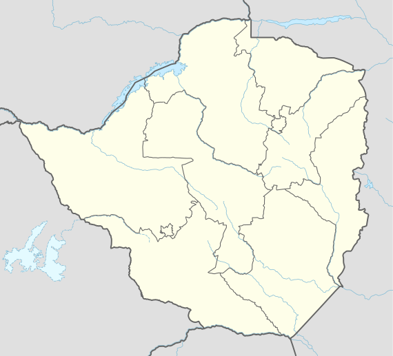 'FVGM Location of the airport in Zimbabwe | |||||||||||
| Runways | |||||||||||
| |||||||||||
|
Sources: Google Maps, OpenStreetMap | |||||||||||
Mhangura Airport (ICAO: FVGM) was an airstrip serving Mhangura, in Mashonaland West Province, Zimbabwe. Aerial views[1][2] show the airstrip is abandoned, with trees growing on the former dirt runway.
See also
- List of airports in Zimbabwe
- Transport in Zimbabwe


References
- ↑ "Google Maps". Google Maps. Retrieved 2018-09-03.
- ↑ "HERE WeGo". HERE WeGo. Retrieved 2018-09-03.
External links
This article is issued from
Wikipedia.
The text is licensed under Creative Commons - Attribution - Sharealike.
Additional terms may apply for the media files.