Musu Point
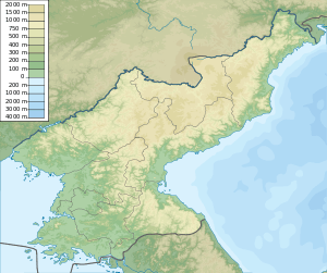 Position of Musu Point in North Korea | |
| Location |
Musu Point North Hamgyong Province North Korea |
|---|---|
| Coordinates | 40°50′6″N 129°49′54″E / 40.83500°N 129.83167°E[1] |
| Year first constructed | 1911[2] |
| Foundation | concrete base |
| Construction | concrete tower[2] |
| Tower shape | cylindrical tower with balcony and lantern[2] |
| Markings / pattern | white tower[2] |
| Height | 9 meters (30 ft)[1] |
| Focal height | 81 meters (266 ft)[1] |
| Range | 23 nautical miles (43 km; 26 mi)[1] |
| Characteristic | Fl (2) W 15s.[1] |
| Admiralty number | M4530[1] |
| NGA number | 16280[1] |
| ARLHS number | NKR-020[2] |
Musu Point[3] or Musu Dan[4] (Korean: 무수단, 舞水端, "Cape of the Dancing Water" or "Waters") is a North Korean headland in the middle of the country's eastern coast along the Sea of Japan. It forms the eastern side of North Hamgyong's Hwadae County and the northern point of East Korea Bay.
Names
In the 19th century, Musu Point was variously known as Cape Bruat[5][6][7] or Boltin.[6][7][8] It was known in Korean as Mong-pai-kat.[8] During the Japanese occupation of Korea, it was known as Busui Tan.
Geography
Musu Point is a promontory consisting of high reddish cliffs projecting boldly south but tapering down to the sea at its apex,[4] which marks the northern end of East Korea Bay. It also forms the eastern end of a narrow but deep bay extending about 40 miles (64 km) west to Yongdae Gap.[9] The peak of the mountain forming the cape has been reckoned as 1,542 feet (470 m).[9]
A rock 16.8 m (55 ft) high lies just south of the point. Another, considered to resemble two crouching dogs when approached from the north or south, lies just off the coast 1.8 miles (2.9 km) to its north.[4]
The area is subject to abnormal magnetic variations.[4]
History
The Japanese passenger ship Koshun Maru, operated by the OSK Line, was wrecked off the point in 1910.[10] Musu Dan Lighthouse, rising from near the cape's apex,[4] was first erected the next year.[2] The 83 m (272 ft) white structure is still active, but closed to the public.[2] The American National Geospatial-Intelligence Agency notes, however, that "the existence and operation of all navigational aids should be considered unreliable on the east coast of North Korea".[1]
See also
- Musudan, its namesake North Korean missile
- Musudan Village, its namesake village and missile launch site
- List of lighthouses in North Korea
References
Citations
- 1 2 3 4 5 6 7 8 NGA (2016), p. 213.
- 1 2 3 4 5 6 7 Rowlett (2007).
- ↑ DPRK (1986).
- 1 2 3 4 5 MSO (2015), p. 74.
- ↑ Griffis (1882), p. 5.
- 1 2 Jarrad (1884), p. 136.
- 1 2 Ross (1891), p. 393.
- 1 2 Meyer (1905), "Japan und Korea".
- 1 2 Jarrad (1884), p. 137.
- ↑ "Koshun Maru (†1910)", The Wrecksite, 2016 .
Bibliography
- "Coasts of Korea and China" (PDF), Sailing Directions, Pub. 157, Springfield: Maritime Safety Office of the National Geospatial Intelligence Agency, 2015 .
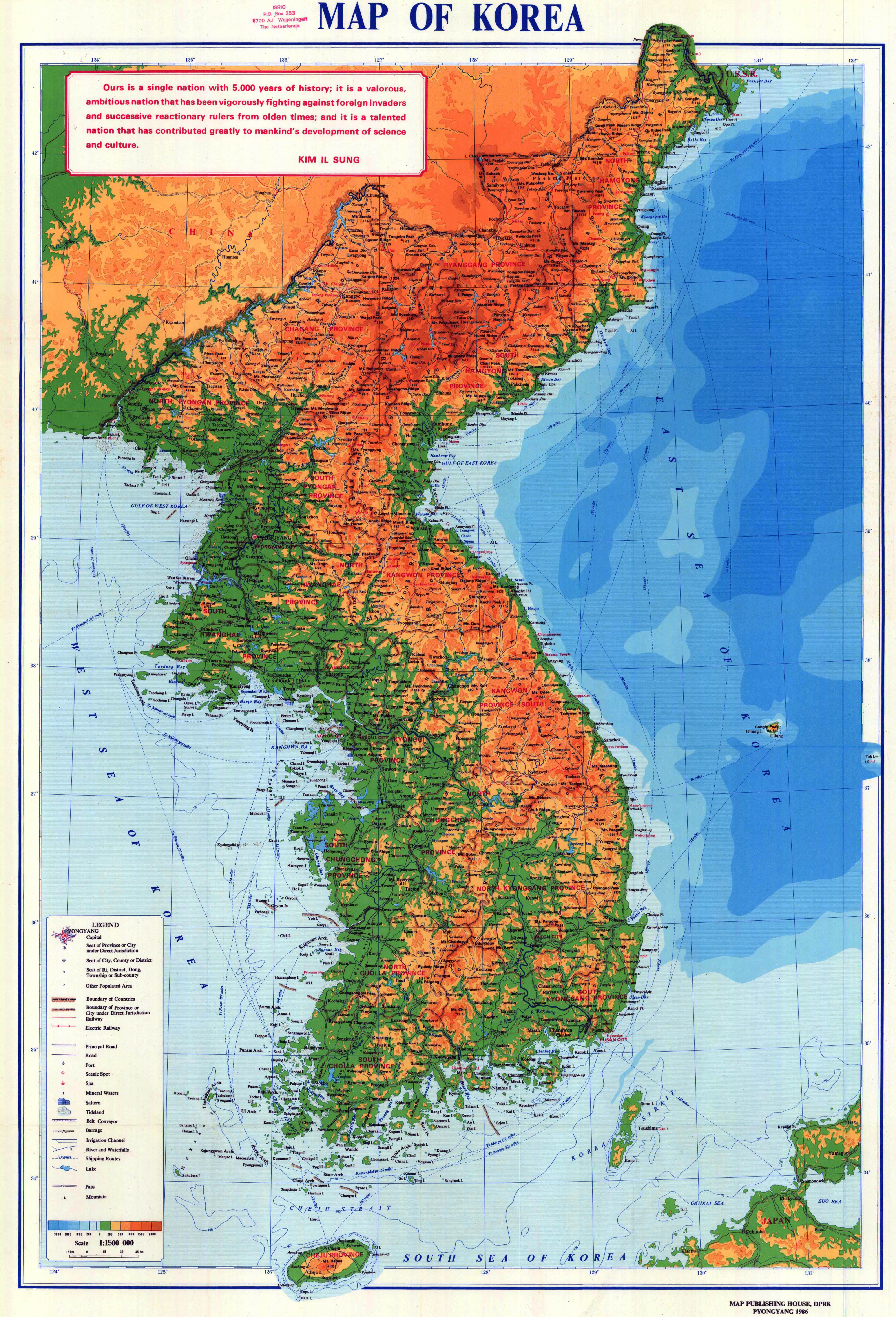
- "Map of Korea", Pyongyang: Map Publishing House of the Democratic People's Republic of Korea, 1986 .
- List of Lights, Pub. 112: Western Pacific and Indian Oceans Including the Persian Gulf and Red Sea (PDF). List of Lights. United States National Geospatial-Intelligence Agency. 2015.
- Griffis, William Elliot (1882), Corea: The Hermit Nation .
- Jarrad, Frederick W. (1884), The China Sea Directory, Vol. IV: Coasts of Korea, Russian Tartary, the Japan Islands, Gulfs of Tartary and Amùr, and the Sea of Okhotsk, London: J.D. Potter for the Hydrographic Office of the Admiralty .
- Meyer, Hermann Julius (1905), Meyers Geographischer Hand-Atlas, Leipzig: Bibliographisches Institut . (in German)
- Ross, John (1891), History of Corea: Ancient and Modern, London: Elliot Stock .
- Rowlett, Russ (2007), "Lighthouses of Eastern North Korea", The Lighthouse Directory, Chapel Hill: University of North Carolina .
External links
- "NK 52-11: Sōngjin", AMS Series L552, Washington: Army Map Service, 1954 , a topographical map of the area around Musu Point.
Coordinates: 40°49′59″N 129°42′37″E / 40.833173°N 129.710230°E