Moushkapat
Coordinates: 39°46′17″N 46°58′46″E / 39.77139°N 46.97944°E
| Müşkapat Mushkapat | |
|---|---|
 Müşkapat | |
| Coordinates: 39°46′17″N 46°58′46″E / 39.77139°N 46.97944°E | |
| Country |
De jure De facto |
| Rayon Province |
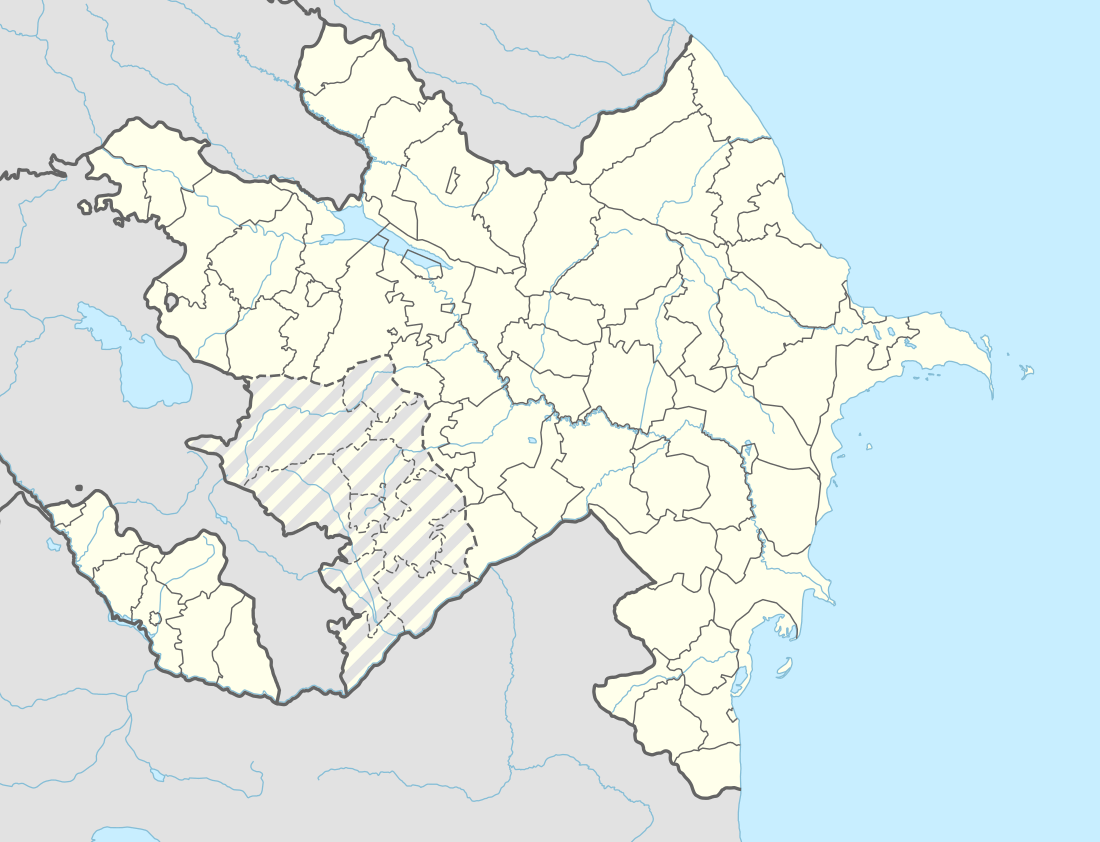
Khojavend Martuni Province |
| Elevation | 703 m (2,306 ft) |
| Population (2015) | |
| • Total | 351 |
| Time zone | UTC+4 (AZT) |
| • Summer (DST) | UTC+5 (AZT) |
| Website | www.mushkapat.com |
Müşkapat (Armenian: Մուշկապատ, also Moushkapat and Mushkapat) with a latitude of 39.77(39°46′17 N) and a longitude of 46.98(46°58′6 E), is a populated place located in Khojavend Rayon region of Azerbaijan that is a part of Asia.
Location placement
Mushkapat is situated 65 kilometers south west (205°) of the approximate center of Azerbaijan and 256 kilometers west (255°) of capital Baku.
References
.svg.png)
Capital: Martuni | ||
| Urban comunities | 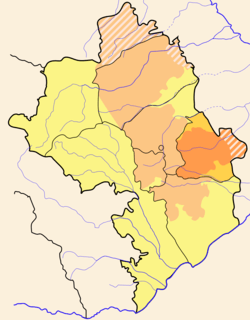 | |
| Rural comunities |
| |
This article is issued from
Wikipedia.
The text is licensed under Creative Commons - Attribution - Sharealike.
Additional terms may apply for the media files.