Mozambique Island Bridge
| Mozambique Island Bridge Portuguese: Ilha de Moçambique Ponte | |
|---|---|
 | |
| Coordinates | 15°02′40″S 40°42′33″E / 15.04444°S 40.70917°ECoordinates: 15°02′40″S 40°42′33″E / 15.04444°S 40.70917°E |
| Carries | 1 lane |
| Crosses | Indian Ocean |
| Locale | Island of Mozambique |
| Maintained by | National Road Administration |
| Characteristics | |
| Material | Concrete bridge |
| Total length | 3,400 metres (11,200 ft)[1] |
| History | |
| Construction end | 1969 |
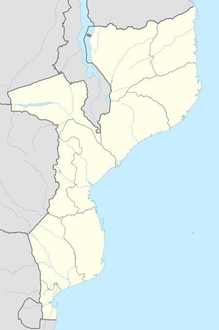 | |
Mozambique Island Bridge is a bridge in Mozambique that connects the Island of Mozambique, the former capital of colonial Portuguese East Africa to the mainland over the Indian Ocean.[2] The western end of the bridge is on the mainland in Lumbo.[3]
See also
References
- ↑ Measured via Google Earth
- ↑ "Rehabilitation of Mozambique Island Bridge Starts". Africa News Servi'. 27 July 2004. Retrieved 8 March 2013.
- ↑ "Historia". Conselho Municipal da Cidade da Ilha de Moçambique. Retrieved 2018-09-14.
This article is issued from
Wikipedia.
The text is licensed under Creative Commons - Attribution - Sharealike.
Additional terms may apply for the media files.