Mount Narryer
| Mount Narryer | |
|---|---|
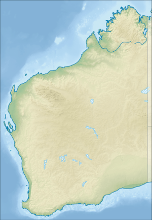 Mount Narryer Location in Western Australia | |
| Highest point | |
| Elevation | 469 m (1,539 ft) [1] |
| Coordinates | 26°31′22″S 116°22′51″E / 26.522889°S 116.3807861°ECoordinates: 26°31′22″S 116°22′51″E / 26.522889°S 116.3807861°E |
| Geography | |
| Location | Mid West region of Western Australia |
| Parent range | Hamersley Range |
Mount Narryer is a mountain in Western Australia.
It is located about 208 kilometres (129 mi) north of Yalgoo and 214 kilometres (133 mi) north east of Kalbarri in the Mid West region of Western Australia. Situated along the Murchison River,[2] the mountain is surrounded by mulga scrubland.
The mountain itself is a fin shaped rocky outcrop 27 kilometres (17 mi) long and 3 kilometres (2 mi) wide, and juts out from the red sandy desert floor.[3]
Mount Narryer is within the boundaries of Mount Narryer Station, which was established in about 1880.[4]
Tiny fragments of zircon collected from Mount Narryer and the nearby Jack Hills have been dated at over four billion years old. [5]
See also
References
- ↑ "Mount Narryer". Bonzle. 2014. Retrieved 2 April 2014.
- ↑ "Station owners sandbagging and raising levees". The West Australian. Yahoo7. 23 February 2011. Retrieved 1 April 2014.
- ↑ Graham Lloyd (22 February 2014). "Wild Australia: The outback mountain 4 billion years old". The Australian. News Limited.
- ↑ "Narryer Station". Western Mail. Perth, Western Australia: National Library of Australia. 18 June 1925. p. 35. Retrieved 1 April 2014.
- ↑ Graham Lloyd (22 February 2014). "Wild Australia: The outback mountain 4 billion years old". The Australian. News Limited. Retrieved 2 April 2014.
This article is issued from
Wikipedia.
The text is licensed under Creative Commons - Attribution - Sharealike.
Additional terms may apply for the media files.