Mount Livermore (Texas)
| Mount Livermore | |
|---|---|
 Mount Livermore | |
| Highest point | |
| Elevation | 8,176 ft (2,492 m) |
| Coordinates | 30°38′00″N 104°10′03″W / 30.6332044°N 104.1674118°W |
| Geography | |
| Location | Jeff Davis County, Texas, U.S. |
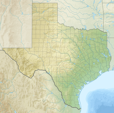
Mount Livermore is a summit the Davis Mountains in the Jeff Davis County, Texas. It reaches an elevation of 8,176 feet / 2,492 meters, and is the fourth highest peak in Texas.[1] The peak was named for Major William Livermore who used it as a point of observations and placed a base monument atop it.[2]
In October and November of 1884, Major Livermore, of the Engineer Corps, was in charge of a military expedition in making a map of western Texas. When reaching the top of the bare rock he called it "Old Baldy", named after a general officer called Baldy Smith.[3]
The Livermore Cache
An extensive cache of arrow points and fragments was excavated by Susan Janes, who moved to Fort Davis with her husband in 1893. In 1895 the Janeses' son Charles, and Tom Merrill found a cairn on its highest point. They demolished the cairn and discovered a scattering of arrowheads underneath it.[4]
Gallery
.jpg) ca.1910-1920
ca.1910-1920
References
- ↑ U.S. Geological Survey Geographic Names Information System: Mount Livermore
- ↑ Thrapp, Dan (1991). Encyclopedia of Frontier Biography: G-O. University of Nebraska Press. p. 863.
- ↑ Flynn, William (1903). "Bears on Old Baldy". Forest and Stream. 60: 24.
- ↑ Taylor, Lonn. "The Livermore Cache". Texas Monthly. Retrieved 12 January 2018.
Coordinates: 30°38′00″N 104°10′03″W / 30.63333°N 104.16750°W