Mount Hanang
| Mount Hanang | |
|---|---|
 | |
| Highest point | |
| Elevation | 3,420 m (11,220 ft) [1] |
| Prominence | 2,050 m (6,730 ft) [1] |
| Listing | Ultra |
| Coordinates | 4°26′06″S 35°24′00″E / 4.43500°S 35.40000°ECoordinates: 4°26′06″S 35°24′00″E / 4.43500°S 35.40000°E [1] |
| Geography | |
 Mount Hanang Tanzania | |
| Location |
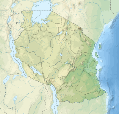
Manyara Region, Tanzania |
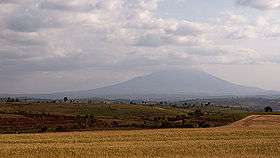
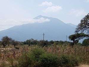
Mount Hanang is a mountain in Tanzania. The peak has an elevation of 3,420 m[1] above sea level. Hanang is located in Manyara Region, Hanang District. It is (after Mount Kilimanjaro, Mount Meru and Mount Loolmalasin) the fourth-highest mountain in Tanzania, if you count the three peaks of Kilimanjaro as one mountain.[2]
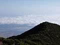
The principal path to the summit starts in the town of Katesh. The climb can be done in one day (10 hours), but it is also common for climbers to spend one night in a tented camp on the mountain and reach the summit on the second day.[2]
See also
Gallery


References
External links
| Wikimedia Commons has media related to Mount Hanang. |
This article is issued from
Wikipedia.
The text is licensed under Creative Commons - Attribution - Sharealike.
Additional terms may apply for the media files.