Moorong, New South Wales
| Moorong Wagga Wagga, New South Wales | |||||||||||||||
|---|---|---|---|---|---|---|---|---|---|---|---|---|---|---|---|
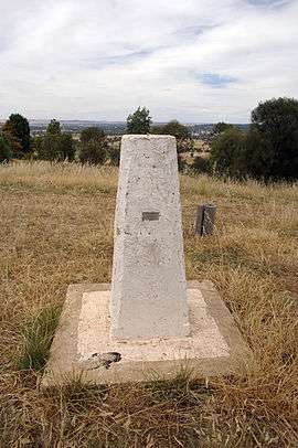 Moorong Geodetic Station on top of Mount Moorong. | |||||||||||||||
|
Moorong | |||||||||||||||
| Coordinates | 35°6′50.64″S 147°18′54.96″E / 35.1140667°S 147.3152667°ECoordinates: 35°6′50.64″S 147°18′54.96″E / 35.1140667°S 147.3152667°E | ||||||||||||||
| Population | 177 (2016 census)[1] | ||||||||||||||
| Postcode(s) | 2650 | ||||||||||||||
| LGA(s) | City of Wagga Wagga | ||||||||||||||
| County | Wynyard | ||||||||||||||
| Parish | South Wagga Wagga | ||||||||||||||
| State electorate(s) | Wagga Wagga | ||||||||||||||
| Federal Division(s) | Riverina | ||||||||||||||
| |||||||||||||||
Moorong, is a small suburb west of Wagga Wagga, New South Wales, Australia. The suburb is named after the pastoral property "Moorong" which is an Aboriginal word for the Wiradjuri Tribe meaning "Bleak" or "Cold" with other meanings "Bark Shelter" and "Camping Ground".[2] Flowerdale Lagoon and Pomingalarna Reserve are located within the suburb.
References
- ↑ Australian Bureau of Statistics (27 June 2017). "Moorong (State Suburb)". 2016 Census QuickStats. Retrieved 27 June 2017.

- ↑ Ellis, W (1984). The Street Names of Wagga Wagga. Wagga Wagga City Council, Wagga Wagga.
External links
![]()
This article is issued from
Wikipedia.
The text is licensed under Creative Commons - Attribution - Sharealike.
Additional terms may apply for the media files.