Moonambel
| Moonambel Victoria | |||||||||||||||
|---|---|---|---|---|---|---|---|---|---|---|---|---|---|---|---|
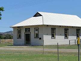 Mechanics Institute Moonambel | |||||||||||||||
 Moonambel | |||||||||||||||
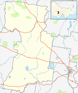
| Coordinates | 36°59′04″S 143°18′40″E / 36.984321°S 143.310974°ECoordinates: 36°59′04″S 143°18′40″E / 36.984321°S 143.310974°E | ||||||||||||||
| Location |
| ||||||||||||||
| LGA(s) | Pyrenees Shire | ||||||||||||||
| State electorate(s) | Ripon[1] | ||||||||||||||
| Federal Division(s) | Wannon[2] | ||||||||||||||
| |||||||||||||||
| Footnotes | [3] | ||||||||||||||
Moonambel is a small town in the Pyrenees region of the Australian state of Victoria, about 5 kilometres (3.1 mi) west of the Sunraysia Highway. It is in the Pyrenees Shire Local Government Area and near the heart of the Pyrenees wine region[4] in the Pyrenees Ranges.
References
- ↑ "Ripon District Profile". Victorian Electoral Commission. Retrieved 4 August 2015.
- ↑ "POLLING PLACE - MOONAMBEL". Australian Electoral Commission. Retrieved 4 August 2015.
- ↑ "Moonambel". Gazetteer of Australia online. Geoscience Australia, Australian Government.
- ↑ "Wineries". Pyrenees Unearthed. Pyrenees Grape Growers & Winemakers. Retrieved 4 August 2015.
External links
![]()
This article is issued from
Wikipedia.
The text is licensed under Creative Commons - Attribution - Sharealike.
Additional terms may apply for the media files.