Monte Vermelho, Fogo
| Monte Vermelho, Fogo | |
|---|---|
 | |
| Coordinates: 14°50′43″N 24°19′41″W / 14.8454°N 24.3281°WCoordinates: 14°50′43″N 24°19′41″W / 14.8454°N 24.3281°W | |
| Country | Cape Verde |
| Island | Fogo |
| Municipality | Santa Catarina do Fogo |
| Civil parish | Santa Catarina do Fogo |
| Population (2010)[1] | |
| • Total | 221 |
Monte Vermelho is a settlement in the southeastern part of the island of Fogo, Cape Verde. It is situated 3 km east of Fonte Aleixo, 3 km southwest of Figueira Pavão, 6 km southwest of Cova Figueira and 19 km southeast of the island capital São Filipe. At the 2010 census its population was 221. Its elevation is about 400 meters.
See also
References
- ↑ "2010 Census results". Instituto Nacional de Estatística Cabo Verde (in Portuguese). 24 November 2016.
The island of Fogo | ||
|---|---|---|
| Mosteiros | 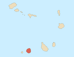 | |
| Santa Catarina do Fogo | ||
| São Filipe | ||
| Other geographical features | ||
| Transportation | ||
| Other topics | ||
This article is issued from
Wikipedia.
The text is licensed under Creative Commons - Attribution - Sharealike.
Additional terms may apply for the media files.