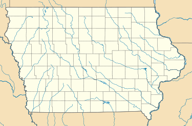
Miller, Iowa
| Miller, Iowa | |
|---|---|
| Census-designated place | |
 Miller  Miller | |
| Coordinates: 43°11′2″N 93°36′0″W / 43.18389°N 93.60000°WCoordinates: 43°11′2″N 93°36′0″W / 43.18389°N 93.60000°W | |
| Country | United States |
| State | Iowa |
| County | Hancock |
| Area | |
| • Total | 2.10 sq mi (5.44 km2) |
| • Land | 2.10 sq mi (5.44 km2) |
| • Water | 0.0 sq mi (0.0 km2) |
| Elevation | 1,227 ft (374 m) |
| Population (2010) | |
| • Total | 60 |
| • Density | 29/sq mi (11/km2) |
| Time zone | UTC-6 (CST) |
| ZIP code | 50438 |
| Area code(s) | 641 |
| FIPS code | 19-52140 |
| GNIS feature ID | 0459097 |
Miller is an unincorporated community and census-designated place in Hancock County, Iowa, in the United States. As of the 2010 census the population was 60.[1]
History
References
- ↑ https://www.census.gov/2010census/popmap/ipmtext.php?fl=1952140
- ↑ History of Winnebago County and Hancock County, Iowa. Pioneer Publishing Company. 1917. p. 288.
This article is issued from
Wikipedia.
The text is licensed under Creative Commons - Attribution - Sharealike.
Additional terms may apply for the media files.