Merrijig
| Merrijig Victoria | |
|---|---|
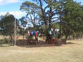 War memorial at Merrijig | |
 Merrijig | |
| Coordinates | 37°06′S 146°15′E / 37.100°S 146.250°ECoordinates: 37°06′S 146°15′E / 37.100°S 146.250°E |
| Population | 705 (2011 census)[1] |
| Postcode(s) | 3723 |
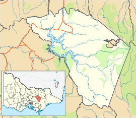
| Location |
|
| LGA(s) | Shire of Mansfield |
| State electorate(s) | Eildon |
| Federal Division(s) | Indi |
Merrijig is a town in Victoria, Australia, located between Mount Buller and Mansfield. At the 2011 census, Merrijig and the surrounding area had a population of 705.[1]
The first Merrijig Post Office opened on 4 October 1866 and was replaced by Boggy Creek in 1867. Another Merrijig Post Office opened on 1 April 1866 (known as Delatite from 1872 until 1924) and closed in 1970.[2]
A second placename in Victoria named "Merrijig" exists in East Gippsland, about 10 kilometres north of Lindenow.
Merrijig is an Aboriginal word meaning "good,well done".[3]
References
- 1 2 Australian Bureau of Statistics (31 October 2012). "Merrijig (State Suburb)". 2011 Census QuickStats. Retrieved 2 December 2014.

- ↑ Premier Postal History, Post Office List, retrieved 2008-04-11
- ↑ http://www.tourisminternet.com.au/chdoma10.htm
External links
![]()
This article is issued from
Wikipedia.
The text is licensed under Creative Commons - Attribution - Sharealike.
Additional terms may apply for the media files.