Mdandu
| Mdandu | |
|---|---|
| Town and ward | |
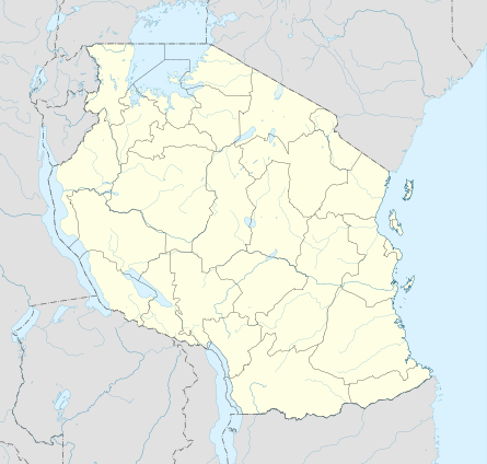 Mdandu Location in Tanzania | |
| Coordinates: 09°08′48″S 34°41′30″E / 9.14667°S 34.69167°ECoordinates: 09°08′48″S 34°41′30″E / 9.14667°S 34.69167°E | |
| Country |
|
| Region | Njombe Region |
| District | Wanging'ombe |
| Population (2002) | |
| • Total | 26,149 |
| Time zone | UTC+3 (EAT) |
| UFI | -2568732 |
Mdandu[1] is a town and ward in Wanging'ombe District of Njombe Region in the southern highlands of Tanzania, East Africa. As of 2002, the population of the ward was 26,149.[2]
References
- ↑ Mdandu (Approved) at GEOnet Names Server, United States National Geospatial-Intelligence Agency
- ↑ "2002 Population and Housing Census General Report". National Bureau of Statistics of Tanzania, accessed via GeoHive. Archived from the original on March 11, 2012. Retrieved December 30, 2011.
This article is issued from
Wikipedia.
The text is licensed under Creative Commons - Attribution - Sharealike.
Additional terms may apply for the media files.