McQuesten Airport
| McQuesten Airport | |||||||||||
|---|---|---|---|---|---|---|---|---|---|---|---|
| Summary | |||||||||||
| Airport type | Public | ||||||||||
| Operator | Government of Yukon | ||||||||||
| Location | McQuesten, Yukon | ||||||||||
| Time zone | PST (UTC−08:00) | ||||||||||
| • Summer (DST) | PDT (UTC−07:00) | ||||||||||
| Elevation AMSL | 1,500 ft / 457 m | ||||||||||
| Coordinates | 63°36′18″N 137°33′49″W / 63.60500°N 137.56361°WCoordinates: 63°36′18″N 137°33′49″W / 63.60500°N 137.56361°W | ||||||||||
| Map | |||||||||||
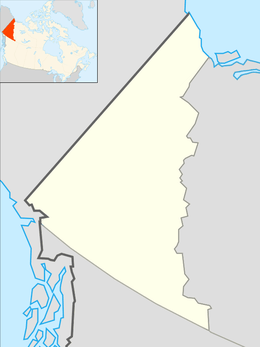 CFP4 Location in Yukon  CFP4 CFP4 (Canada) | |||||||||||
| Runways | |||||||||||
| |||||||||||
|
Source: Canada Flight Supplement[1] | |||||||||||
McQuesten Airport (TC LID: CFP4) is located on the banks of the Stewart River near McQuesten, Yukon, Canada and receives no maintenance.
References
- ↑ Canada Flight Supplement. Effective 0901Z 19 July 2018 to 0901Z 13 September 2018.
| By name | |
|---|---|
| By location indicator | |
| By province/territory | |
| By area | |
| National Airports System | |
| Related | |
| |
This article is issued from
Wikipedia.
The text is licensed under Creative Commons - Attribution - Sharealike.
Additional terms may apply for the media files.