Mayar (mountain)
| Mayar | |
|---|---|
 Mayar | |
| Highest point | |
| Elevation | 928 m (3,045 ft) [1] |
| Coordinates | 56°50′57″N 3°13′45″W / 56.84917°N 3.22917°WCoordinates: 56°50′57″N 3°13′45″W / 56.84917°N 3.22917°W |
| Geography | |
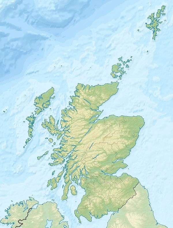
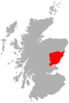
| Location | Angus, Scotland |
Mayar is a mountain in the Grampians, in Angus, Scotland.[2] It is usually climbed together with its near neighbour, Driesh.[3] At an elevation of 928m,[1] it is the 564th highest peak in the British Isles and the 534th tallest in Scotland.[4]
References
- 1 2 "Mayar Map, Height, GPS Routes and Photos » Munro Map". www.munromap.co.uk.
- ↑ "GeoNames.org". www.geonames.org.
- ↑ "Mayar (Walkhighlands)".
- ↑ Ltd, Copyright The mountain Guide - A-Connect. "Mayar - Scotland - UK mountain Guide". UK mountain Guide.
 |
| |
This article is issued from
Wikipedia.
The text is licensed under Creative Commons - Attribution - Sharealike.
Additional terms may apply for the media files.