Driesh
| Driesh | |
|---|---|
| Dris | |
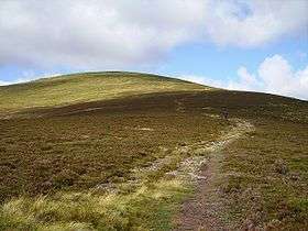 Shank of Driesh, the south ridge of Driesh, August 2006 | |
| Highest point | |
| Elevation | 947 m (3,107 ft) [1] |
| Prominence | 138 m (453 ft) [2] |
| Listing | Munro |
| Coordinates | 56°50′53″N 3°11′48″W / 56.84796°N 3.19655°WCoordinates: 56°50′53″N 3°11′48″W / 56.84796°N 3.19655°W |
| Naming | |
| Translation | a thorn bush or bramble[3] (Gaelic) |
| Geography | |
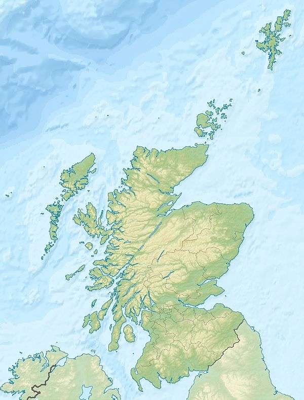 Driesh Scotland | |
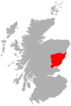
| Location | Angus, Scotland |
| Parent range | Grampians |
| OS grid | NO271736 |
| Topo map | OS Landranger 44, Explorer 388 |
Driesh (Gaelic: Dris) is a mountain located in the Grampians of Scotland. Apart from Mount Keen (939 m/3,080 ft), it is the most easterly of the Munro peaks.
Located several miles north of the village of Kirriemuir in Angus, the closeness of Driesh to the city of Dundee makes it a popular Munro with locals; in many ways making it the Dundonian equivalent to Ben Lomond near Glasgow.
References
| Wikimedia Commons has media related to Driesh. |
- ↑ "walkhighlands Driesh". walkhighlands.co.uk. 2013. Retrieved 30 November 2013.
- ↑ Database of British and Irish Hills
- ↑ Munros Tables, Scottish Mountaineering Club
 |
| |
This article is issued from
Wikipedia.
The text is licensed under Creative Commons - Attribution - Sharealike.
Additional terms may apply for the media files.