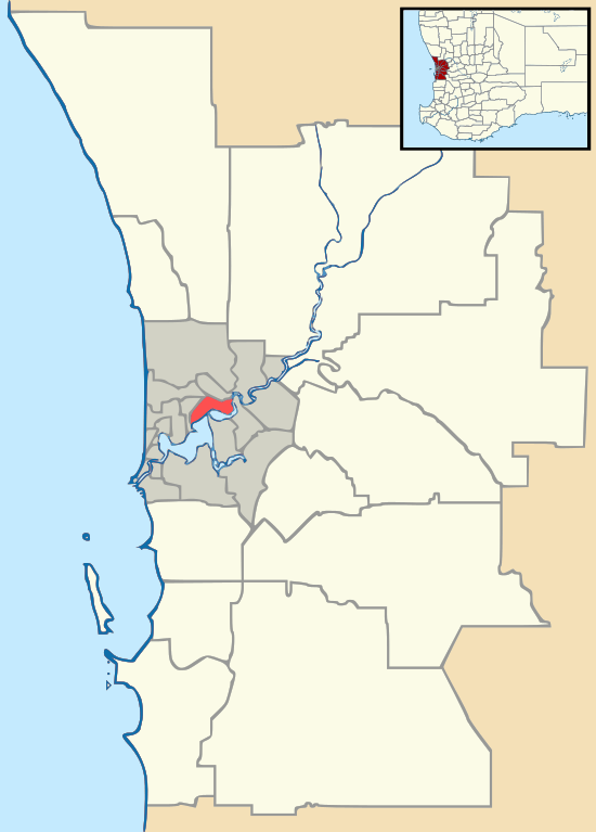
Martin, Western Australia
| Martin Perth, Western Australia | |||||||||||||||
|---|---|---|---|---|---|---|---|---|---|---|---|---|---|---|---|
 Martin | |||||||||||||||
| Coordinates | 32°04′16″S 116°02′13″E / 32.071°S 116.037°ECoordinates: 32°04′16″S 116°02′13″E / 32.071°S 116.037°E | ||||||||||||||
| Population | 1,163 (2011 census)[1] | ||||||||||||||
| Postcode(s) | 6111 | ||||||||||||||
| LGA(s) | City of Gosnells | ||||||||||||||
| State electorate(s) | Kalamunda | ||||||||||||||
| Federal Division(s) | Canning | ||||||||||||||
| |||||||||||||||
Martin is a suburb of Perth, Western Australia, located within the City of Gosnells. It was named in 1974 after a pioneer family of the Gosnells district, and in particular Edward Victor Martin who had served for 37 years on the council.[2]
The pioneer family of Martin was that of Jesse Martin (1827-1887) and his wife Martha Olive Kersley (1822-1891) who had a Homestead on the Canning river in Kelmscott and a beautiful orchard in the Hills on Canning Mills Road. Their son Thomas Martin (1863-1847) owned the land in the hills of the area of Gosnells, now called Martin. A family story states that the hill behind the Salvation Army Home in Seaforth was originally called Mt Misery, and that Thomas Martin didn't like the name and changed it to Mt Mystery. In the 1950s two of Jesse and Martha's grand nieces settled with their families on this hill just above Seaforth. Until the 1970s this area still did not have electricity or running water. Water was let down from the Water Board Canal in the hills in an open channel to the properties in the area.
References
- ↑ Australian Bureau of Statistics (31 October 2012). "Martin (State Suburb)". 2011 Census QuickStats. Retrieved 17 February 2017.

- ↑ Western Australian Land Information Authority. "History of metropolitan suburb names – M". Retrieved 2008-10-10.