Lake Markakol
| Lake Markakol Маркаколь көлі | |
|---|---|
 | |
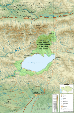 Map of the area | |
| Coordinates | 48°45′N 85°45′E / 48.750°N 85.750°ECoordinates: 48°45′N 85°45′E / 48.750°N 85.750°E |
| Primary outflows | Kaldzhir River |
| Basin countries | Kazakhstan |
| Max. length | 19 km (12 mi) |
| Max. width | 38 km (24 mi) |
| Surface area | 455 km2 (176 sq mi) |
| Average depth | 14 m (46 ft) |
| Max. depth | 30 m (98 ft) |
| Shore length1 | ~ 100 km (62 mi) |
| Surface elevation | 1,447 m (4,747 ft) |
| 1 Shore length is not a well-defined measure. | |
Lake Markakol (Kazakh: Маркаколь көлі, Markakol' köli; Russian: озеро Маркаколь, ozero Markakol') is a lake in East Kazakhstan. The lake is fed with small rivers and streams. Its coasts are cut up by gulfs. It is the largest lake in the Katonkaragay District of East Kazakhstan Region.
Gallery
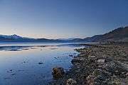
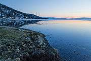
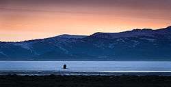
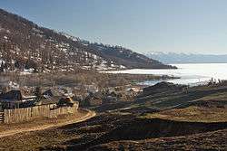 The village of Urunkhayka on the east coast of Markakol.
Capital: Oskemen | ||
| Districts |  | |
| Major cities | ||
This article is issued from
Wikipedia.
The text is licensed under Creative Commons - Attribution - Sharealike.
Additional terms may apply for the media files.