Temuco Maquehue Airport
| Maquehue Airport Aeropuerto Maquehue | |||||||||||||||
|---|---|---|---|---|---|---|---|---|---|---|---|---|---|---|---|
 | |||||||||||||||
| Summary | |||||||||||||||
| Airport type | Private | ||||||||||||||
| Serves | Temuco, Chile | ||||||||||||||
| Elevation AMSL | 304 ft / 93 m | ||||||||||||||
| Coordinates | 38°46′00″S 72°38′10″W / 38.76667°S 72.63611°WCoordinates: 38°46′00″S 72°38′10″W / 38.76667°S 72.63611°W | ||||||||||||||
| Map | |||||||||||||||
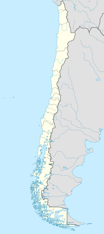
 PZS Location of airport in Chile | |||||||||||||||
| Runways | |||||||||||||||
| |||||||||||||||
Maquehue Airport (Spanish: Aeropuerto Maquehue) (IATA: PZS, ICAO: SCTC) is an airport 5 kilometres (3.1 mi) southwest of Temuco, a city in the La Araucanía Region of Chile.
Runway 06 has a 150 metres (490 ft) displaced threshold. The Temuco non-directional beacon (Ident: TCO) is 1.0 nautical mile (1.9 km) east of the airport.[4]
This airport is now closed to the public and commercial flights have been relocated to La Araucanía International Airport.
See also
References
- ↑ Airport information for Maquehue at World Aero Data. Data current as of October 2006.
- ↑ Airport information for Maquehue Airport at Great Circle Mapper.
- ↑ Google Maps - Maquehue Airport
- ↑ Temuco NDB
External links
- OpenStreetMap - Maquehue
- OurAirports - Maquehue
- SkyVector - Maquehue
- Aeródromo Maquehue (SCTC) at Aerodromo.cl
- Accident history for Maquehue Airport at Aviation Safety Network
This article is issued from
Wikipedia.
The text is licensed under Creative Commons - Attribution - Sharealike.
Additional terms may apply for the media files.