Maoputasi County, American Samoa
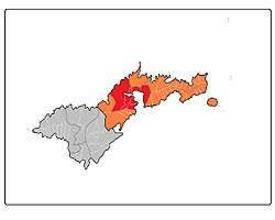
Maoputasi County is located in the Eastern District of Tutuila Island in American Samoa. Maoputasi County compromises Pago Pago and its harbor, as well as surrounding villages. It was home to 11,695 residents as of 2000.[1] The county is represented by three senators in the American Samoa Senate, and five representatives in the House of Representatives, more than any other county.[2]
Besides Pago Pago, it is home to the following villages: Anua (2010 pop. 18), Atu’u (pop. 359), Aua (pop. 2,077), Faga'alu (pop. 910), Fagatogo (pop. 1,737), Fatumafuti (pop. 113), Leloaloa (pop. 448), Satala (pop. 297), and Utulei (pop. 684).[3]
The 2009 Samoa earthquake and tsunami did major structural damage to the port facility in Fagatogo and elsewhere in the county.[4]
References
- ↑ Government Printing Office (2004). The National Data Book. Government Printing Office. Page 824. ISBN 9780160877575.
- ↑ https://www.americansamoa.gov/legislative-branch-fono
- ↑ https://www.census.gov/population/www/cen2010/cph-t/t-8tables/table1b.pdf
- ↑ https://disasterscharter.org/web/guest/-/tsunami-in-samoa-islan-9