Maneadero
| Maneadero Maneadero | |
|---|---|
| Town | |
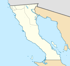 Maneadero Location of Maneadero in Mexico Maneadero Maneadero (Mexico) | |
| Coordinates: 31°47′45″N 116°35′28″W / 31.79583°N 116.59111°WCoordinates: 31°47′45″N 116°35′28″W / 31.79583°N 116.59111°W | |
| Country |
|
| State |
|
| Municipality | Ensenada |
| Elevation | 10 m (30 ft) |
| Population (2010) | |
| • Total | 15,038 |
| Time zone | UTC-8 (PST) |
| Calling Code | 646 |
Maneadero is a town located in the Ensenada Municipality of Baja California, Mexico, and is located about eight kilometers south of the city of Ensenada. The town is very much agriculturally oriented, and livestock makes up a fair amount of the economy. The town was created by an agrarian reform, which granted agricultural land to the people who lived there.[1]
References
- ↑ "Maneadero". Wikipedia, la enciclopedia libre (in Spanish). 2017-11-28.
This article is issued from
Wikipedia.
The text is licensed under Creative Commons - Attribution - Sharealike.
Additional terms may apply for the media files.