Malung
| Malung | |
|---|---|
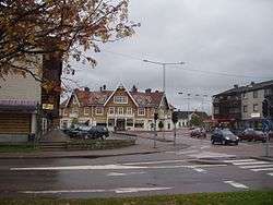 Central Malung | |
 Malung 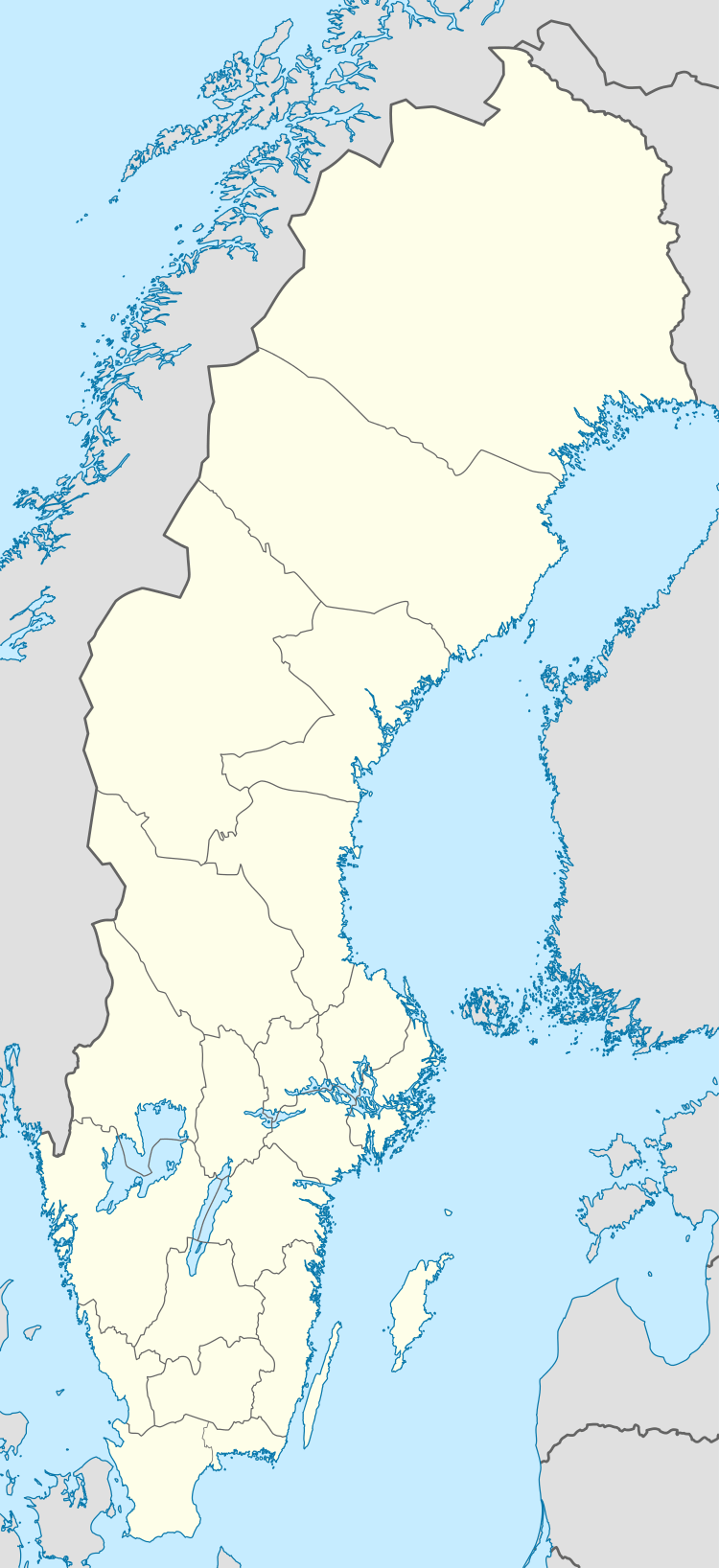 Malung | |
| Coordinates: 60°41′N 13°44′E / 60.683°N 13.733°ECoordinates: 60°41′N 13°44′E / 60.683°N 13.733°E | |
| Country | Sweden |
| Province | Dalarna |
| County | Dalarna County |
| Municipality | Malung-Sälen Municipality |
| Area[1] | |
| • Total | 9.39 km2 (3.63 sq mi) |
| Population (31 December 2010)[1] | |
| • Total | 5,126 |
| • Density | 546/km2 (1,410/sq mi) |
| Time zone | UTC+1 (CET) |
| • Summer (DST) | UTC+2 (CEST) |
Malung is a locality and the seat of Malung-Sälen Municipality, Dalarna County, Sweden, with 5,126 inhabitants in 2010.[1]
Overview
Malung is home to Malungs Folkhögskola, a few kilometers outside downtown. Specialized courses include folk music, dance, mountaineering and health. Malung is also where the first DreamHack[2] event took place.
Climate
Malung has a relatively moderate subarctic climate not far below continental. In comparison with areas further east in the county like Falun, temperatures are generally chilly. Cold extremes in particular are very cold by standards this far south in the country.
| Climate data for Malung (2002-2015; extremes since 1916; precipitation 1961-1990) | |||||||||||||
|---|---|---|---|---|---|---|---|---|---|---|---|---|---|
| Month | Jan | Feb | Mar | Apr | May | Jun | Jul | Aug | Sep | Oct | Nov | Dec | Year |
| Record high °C (°F) | 8.3 (46.9) |
11.1 (52) |
16.4 (61.5) |
24.5 (76.1) |
27.6 (81.7) |
31.4 (88.5) |
31.4 (88.5) |
32.1 (89.8) |
27.0 (80.6) |
20.3 (68.5) |
14.1 (57.4) |
10.1 (50.2) |
32.1 (89.8) |
| Average high °C (°F) | −2.9 (26.8) |
−1.4 (29.5) |
3.5 (38.3) |
9.6 (49.3) |
14.7 (58.5) |
18.9 (66) |
21.4 (70.5) |
19.5 (67.1) |
15.5 (59.9) |
7.7 (45.9) |
2.3 (36.1) |
−1.6 (29.1) |
8.9 (48) |
| Daily mean °C (°F) | −6.6 (20.1) |
−5.7 (21.7) |
−2.0 (28.4) |
3.8 (38.8) |
8.6 (47.5) |
12.7 (54.9) |
15.5 (59.9) |
14.0 (57.2) |
9.7 (49.5) |
3.6 (38.5) |
−0.8 (30.6) |
−5.4 (22.3) |
4.0 (39.2) |
| Average low °C (°F) | −10.3 (13.5) |
−10.1 (13.8) |
−7.5 (18.5) |
−2.0 (28.4) |
2.6 (36.7) |
6.5 (43.7) |
9.7 (49.5) |
8.4 (47.1) |
3.9 (39) |
−0.5 (31.1) |
−4.0 (24.8) |
−9.1 (15.6) |
−1.0 (30.2) |
| Record low °C (°F) | −39.3 (−38.7) |
−39.4 (−38.9) |
−35.6 (−32.1) |
−27.0 (−16.6) |
−12.4 (9.7) |
−5.4 (22.3) |
−1.7 (28.9) |
−3.2 (26.2) |
−10.2 (13.6) |
−21.7 (−7.1) |
−34.0 (−29.2) |
−38.0 (−36.4) |
−39.4 (−38.9) |
| Average precipitation mm (inches) | 45.4 (1.787) |
33.7 (1.327) |
37.5 (1.476) |
43.9 (1.728) |
56.0 (2.205) |
74.4 (2.929) |
95.4 (3.756) |
78.3 (3.083) |
81.8 (3.22) |
70.0 (2.756) |
63.7 (2.508) |
49.6 (1.953) |
729.8 (28.732) |
| Source #1: SMHI precipitation average 1961-1990[3] | |||||||||||||
| Source #2: SMHI climate data 2002-2014[4] | |||||||||||||
Notable people
- Stina Nilsson (*1993), cross-country skier
See also
References
| Wikimedia Commons has media related to Malung. |
- 1 2 3 "Tätorternas landareal, folkmängd och invånare per km2 2005 och 2010" (in Swedish). Statistics Sweden. 14 December 2011. Archived from the original on 10 January 2012. Retrieved 10 January 2012.
- ↑ Dreamhack
- ↑ "SMHI precipitation average 1961-1990" (in Swedish). Swedish Metereological and Hydrological Institute (Malung code 10 341).
- ↑ "SMHI climate data 2002-2015". SMHI. March 9, 2016.
External links
- Malung-Sälen Municipality (in Swedish)
Municipalities and seats of Dalarna County | ||
|---|---|---|
| Municipalities | ||
| Municipal seats | ||
| Authority control |
|---|
This article is issued from
Wikipedia.
The text is licensed under Creative Commons - Attribution - Sharealike.
Additional terms may apply for the media files.