Majri Kalan
| Majri Kalan | |
|---|---|
| Village | |
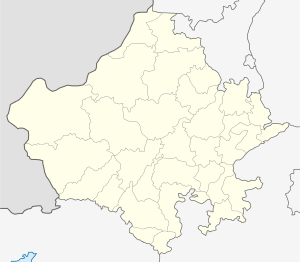
 Majri Kalan Location in Rajasthan, India  Majri Kalan Majri Kalan (India) | |
| Coordinates: 27°59′42″N 76°19′29″E / 27.9949546°N 76.3246517°ECoordinates: 27°59′42″N 76°19′29″E / 27.9949546°N 76.3246517°E | |
| Country |
|
| State | Rajasthan |
| District | Alwar |
| Elevation | 273 m (896 ft) |
| Languages | |
| • Official | Hindi |
| Time zone | UTC+5:30 (IST) |
| PIN | 301703 |
| ISO 3166 code | RJ-IN |
| Vehicle registration | RJ 02 |
Majri Kalan is a village in Behror tehsil, Alwar district, in the state of Rajasthan, India.[1][2] It is on National Highway No.8, 10 km from Neemrana.
Adjacent villages
References
- ↑ http://www.gloriousindia.com/unleashed/place.php?id=225716
- ↑ "Archived copy". Archived from the original on 2013-12-02. Retrieved 2012-12-06.
This article is issued from
Wikipedia.
The text is licensed under Creative Commons - Attribution - Sharealike.
Additional terms may apply for the media files.