Macmillan Pass Airport
| Macmillan Pass Airport | |||||||||||
|---|---|---|---|---|---|---|---|---|---|---|---|
| Summary | |||||||||||
| Airport type | Public | ||||||||||
| Operator | Government of Yukon | ||||||||||
| Location | Macmillan Pass, Yukon | ||||||||||
| Time zone | PST (UTC−08:00) | ||||||||||
| • Summer (DST) | PDT (UTC−07:00) | ||||||||||
| Elevation AMSL | 3,810 ft / 1,161 m | ||||||||||
| Coordinates | 63°10′34″N 130°12′13″W / 63.17611°N 130.20361°WCoordinates: 63°10′34″N 130°12′13″W / 63.17611°N 130.20361°W | ||||||||||
| Map | |||||||||||
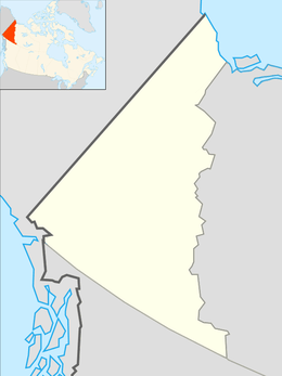 CFC4 Location in Yukon  CFC4 CFC4 (Canada) | |||||||||||
| Runways | |||||||||||
| |||||||||||
|
Source: Canada Flight Supplement[1] | |||||||||||
Macmillan Pass Airport (IATA: XMP, TC LID: CFC4) has a 1,500 ft × 50 ft (457 m × 15 m) runway and receives no maintenance. It is along the Canol Road.
The airport is located on the Continental Divide near the border of Yukon and Northwest Territories, Canada. The airport is generally used to support resource exploration and tourism.
References
- ↑ Canada Flight Supplement. Effective 0901Z 19 July 2018 to 0901Z 13 September 2018.
| By name | |
|---|---|
| By location indicator | |
| By province/territory | |
| By area | |
| National Airports System | |
| Related | |
| |
This article is issued from
Wikipedia.
The text is licensed under Creative Commons - Attribution - Sharealike.
Additional terms may apply for the media files.