Macenta Airport
| Macenta Airport | |||||||||||
|---|---|---|---|---|---|---|---|---|---|---|---|
| Summary | |||||||||||
| Airport type | Public | ||||||||||
| Serves | Macenta | ||||||||||
| Elevation AMSL | 3,396 ft / 1,035 m | ||||||||||
| Coordinates | 8°28′55″N 9°31′30″W / 8.48194°N 9.52500°WCoordinates: 8°28′55″N 9°31′30″W / 8.48194°N 9.52500°W | ||||||||||
| Map | |||||||||||
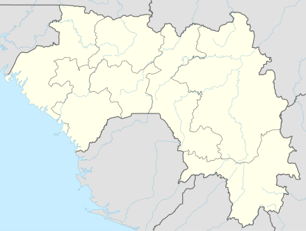 MCA Location of the airport in Guinea | |||||||||||
| Runways | |||||||||||
| |||||||||||
Macenta Airport (IATA: MCA, ICAO: GUMA) is an airport serving Macenta, a town in the Nzérékoré Region of Guinea. The airport is 9 kilometres (5.6 mi) southwest of the town.
The Macenta non-directional beacon (Ident: MA) is located 0.78 nautical miles (1.4 km) off the approach end of Runway 07.[3]
See also
References
- ↑ Google Map - Macenta
- ↑ Airport information for MCA at Great Circle Mapper.
- ↑ "Macenta NDB (MA) @ OurAirports". ourairports.com. Retrieved 2018-08-20.
External links
- OpenStreetMap - Macenta
- OurAirports - Macenta
- Macenta
- Accident history for Macenta Airport at Aviation Safety Network
This article is issued from
Wikipedia.
The text is licensed under Creative Commons - Attribution - Sharealike.
Additional terms may apply for the media files.