Fria Airport
| Fria Airport | |||||||||||
|---|---|---|---|---|---|---|---|---|---|---|---|
| Summary | |||||||||||
| Airport type | Public | ||||||||||
| Serves | Fria, Guinea | ||||||||||
| Elevation AMSL | 499 ft / 152 m | ||||||||||
| Coordinates | 10°21′02″N 13°34′09″W / 10.35056°N 13.56917°WCoordinates: 10°21′02″N 13°34′09″W / 10.35056°N 13.56917°W | ||||||||||
| Map | |||||||||||
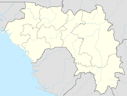 FIG Location of airport in Guinea | |||||||||||
| Runways | |||||||||||
| |||||||||||
Fria Airport (IATA: FIG, ICAO: GUFA) is an airport serving Fria, a town and prefecture in the Boke Region of the Republic of Guinea. The airport is on the southeast side of Fria.
An overrun to the southwest will drop into a 100-metre (330 ft) deep ravine.
See also


- Transport in Guinea
- List of airports in Guinea
References
- ↑ World Aero Data - Fria Airport
- ↑ Airport information for Fria Airport at Great Circle Mapper.
- ↑ "Fria Airport". Google Maps. Google. Retrieved 31 May 2018.
External links
- OpenStreetMap - Fria Airport
- SkyVector - Fria/Katourou Airport
- OurAirports - Fria Airport
- FallingRain - Fria Airport
- Accident history for Fria Airport at Aviation Safety Network
This article is issued from
Wikipedia.
The text is licensed under Creative Commons - Attribution - Sharealike.
Additional terms may apply for the media files.