Maïdo
| Maïdo | |
|---|---|
 Piton Maïdo | |
| Highest point | |
| Elevation | 2,205 m (7,234 ft) |
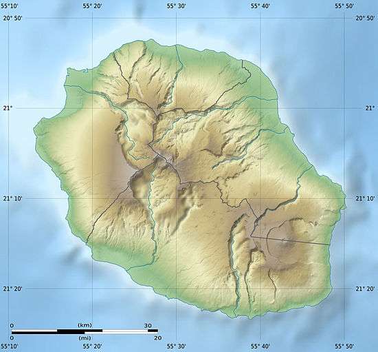
| Coordinates | 21°04′08″S 55°23′16″E / 21.06889°S 55.38778°ECoordinates: 21°04′08″S 55°23′16″E / 21.06889°S 55.38778°E |
| Geography | |
 Maïdo | |
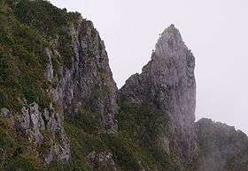
The Maïdo is a volcanic peak on the island of Réunion, located above the city of Saint Paul and overlooking the "Cirque de Mafate".
The road climbing from Saint Paul to Maïdo goes through a forest of highland tamarin which is a popular area for family picnics.
Climatology
The University of La Réunion has started the construction of an observation station dedicated to atmosphere measurements. The facility is expected to be operational by early 2012.[1]
References
- ↑ "Observatoire de Physique de l'Atmosphère de la Réunion". OPAR. Archived from the original on 2012-04-25.
External links

- Aerial pictures of the Maïdo
This article is issued from
Wikipedia.
The text is licensed under Creative Commons - Attribution - Sharealike.
Additional terms may apply for the media files.