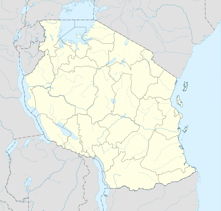
Longido
| Longido | |
|---|---|
| Town and ward | |
|
Shops on the main road running through Longido. Mount Longido can be seen behind, however the peak isn't visible from here. | |
 Longido | |
| Coordinates: 2°43′57″S 36°41′54″E / 2.73250°S 36.69833°ECoordinates: 2°43′57″S 36°41′54″E / 2.73250°S 36.69833°E | |
| Country |
|
| Region | Arusha Region |
| District | Longido District |
| Time zone | UTC+3 (EAT) |
| UFI | -2566800 |
Longido[1] is a small town and ward in Arusha Region in Tanzania. It is the administrative seat for Longido District. Most of the inhabitants are Maasai, but there are other East African tribes as well.
Longido is at the foot of Mount Longido which can be climbed in one and a half days.
Longido includes some basic accommodation (guest houses), restaurants, bars and general stores. There is also a police station there, several churches and a primary and secondary school. The only electricity in the village is by private generator.
History
A 1928 ascent of Mount Longido is described in Vivienne de Watteville's book Speak to the Earth (1935).
Anyolite was first discovered at the Mundarara Mine near Longido in 1954.
In 2007, Longido became the capital of Longido District which was formed out of part of Monduli District.
Ward status
In addition to the town of Longido, the ward includes the village of Engikareti.[2]
Notes