Long Semado Airport
| Long Semado Airport Lapangan Terbang Long Semado | |||||||||||
|---|---|---|---|---|---|---|---|---|---|---|---|
| Summary | |||||||||||
| Airport type | Public | ||||||||||
| Operator | Malaysia Airports Sdn. Bhd. | ||||||||||
| Serves | Long Semado, Sarawak, Malaysia | ||||||||||
| Time zone | MST (UTC+08:00) | ||||||||||
| Elevation AMSL | 2,150 ft / 655 m | ||||||||||
| Coordinates | 04°12′59″N 115°34′58″E / 4.21639°N 115.58278°ECoordinates: 04°12′59″N 115°34′58″E / 4.21639°N 115.58278°E | ||||||||||
| Map | |||||||||||
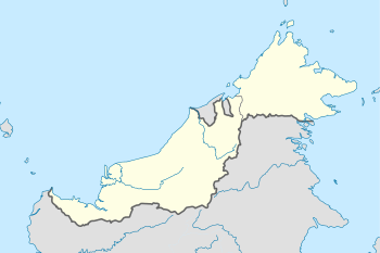 WBGD Location in Malaysia | |||||||||||
| Runways | |||||||||||
| |||||||||||
Long Semado Airport (IATA: LSM[2], ICAO: WBGD) is an airport serving Long Semado in the state of Sarawak in Malaysia. There are no scheduled flights at this airport.
See also
References
- ↑ AIP Malaysia: Index to Aerodromes at Department of Civil Aviation Malaysia
- ↑ Airport information for LSM at Great Circle Mapper.
External links
- Short Take-Off and Landing Airports (STOL) at Malaysia Airports Holdings Berhad
- Accident history for LSM at Aviation Safety Network
This article is issued from
Wikipedia.
The text is licensed under Creative Commons - Attribution - Sharealike.
Additional terms may apply for the media files.