List of lighthouses in the Solomon Islands
This is a list of lighthouses in Solomon Islands. [1][2]
Lighthouses
| Name | Image | Year built | Location & coordinates | Class of Light [2] | Focal height[2] | NGA number[2] | Admiralty number[2] | Range nml[2] |
|---|---|---|---|---|---|---|---|---|
| Auki Harbour Lighthouse | n/a | Auki 8°46′08.2″S 160°42′10.4″E / 8.768944°S 160.702889°E | L Fl WR 5s. | 97 metres (318 ft) | 10700 | K4901 | white. 15 red: 12 | |
| Cape Esperance Lighthouse | n/a | Cape Esperance 9°15′12.7″S 159°42′54.0″E / 9.253528°S 159.715000°E | Fl W 10s. | 10 metres (33 ft) | 10652 | K4932 | 10 | |
| Gizo Island Lighthouse | n/a | Gizo 8°04′06.0″S 156°50′12.0″E / 8.068333°S 156.836667°E | Fl W 5s. | 9 metres (30 ft) | 10756 | K4893.4 | 5 | |
| Indalilau Islet Lighthouse | n/a | offshore Nggela Islands 9°11′35.4″S 160°21′39.9″E / 9.193167°S 160.361083°E | Fl (2) W 10s. | 10 metres (33 ft) | 10680 | K4906 | 10 | |
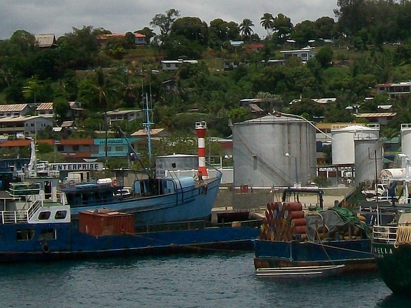
| Honiara Anchorage Range Front Lighthouse | Image | n/a | Honiara 9°25′53.2″S 159°57′34.0″E / 9.431444°S 159.959444°E | Fl R 5s. | 13 metres (43 ft) | 10636 | K4934 | 4 |
| Honiara Anchorage Range Rear Lighthouse | n/a | Honiara 9°26′04.7″S 159°57′18.9″E / 9.434639°S 159.955250°E | Fl G 5s. | n/a | 10640 | K4934.1 | 4 | |
| Kunda Kunda Reef Lighthouse | n/a | Munda 8°23′00.0″S 157°13′36.0″E / 8.383333°S 157.226667°E (NGA) | Fl W 10s. | 10 metres (33 ft) | 10732 | K4896 | 10 | |
| Munda Range Front Lighthouse | n/a | Munda 8°22′12.0″S 157°13′48.0″E / 8.370000°S 157.230000°E (NGA) | Fl W 5s. | 9 metres (30 ft) | 10736 | K4896.4 | 5 | |
| Munda Range Rear Lighthouse | n/a | Munda 8°19′49.9″S 157°14′05.5″E / 8.330528°S 157.234861°E | Fl (3) W 15s. | 11 metres (36 ft) | 10740 | K4896.41 | 5 | |
| Papara Voghoe Point Lighthouse | n/a | Choiseul Island 4°10′12.0″S 156°52′00.0″E / 4.170000°S 156.866667°E | Fl WRG 10s. | 51 metres (167 ft) | 10772 | K4892 | white: 8 red:5 green: 5 | |
| Rere Point Lighthouse | n/a | Mbulo Island 9°34′42.0″S 160°36′48.0″E / 9.578333°S 160.613333°E (NGA) | Fl W 5s. | 10 metres (33 ft) | 10608 | K4946 | 5 | |
| Russell Islands Lighthouse | n/a | Russell Islands 8°58′54.5″S 159°14′32.6″E / 8.981806°S 159.242389°E | Fl W 10s. | 11 metres (36 ft) | 10724 | K4920 | 10 | |
| Soghonangola Lighthouse | n/a | Tulagi 9°07′25.3″S 160°09′22.4″E / 9.123694°S 160.156222°E | Fl (2) R 10s. | 10 metres (33 ft) | 10665 | K4909 | 3 | |
| South Island Lighthouse | n/a | New Georgia 8°48′53.7″S 157°45′31.3″E / 8.814917°S 157.758694°E | Fl W 10s. | 11 metres (36 ft) | 10728 | K4898 | 10 | |
| Square Island Lighthouse | n/a | Guadalcanal Province 9°49′23.6″S 160°54′14.1″E / 9.823222°S 160.903917°E | Fl W 10s. | 10 metres (33 ft) | 10584 | K4947 | 10 | |
| Taivu Point Lighthouse | n/a | Guadalcanal Province 9°24′42.0″S 160°21′00.0″E / 9.411667°S 160.350000°E (NGA) | L Fl (2) W 20s. | 10 metres (33 ft) | 10616 | K4944 | 5 | |
| Tulagi Harbour Range Front Lighthouse | n/a | Tulagi 9°06′08.3″S 160°10′07.2″E / 9.102306°S 160.168667°E | Fl W 5s. | 8 metres (26 ft) | 10660 | K4908 | 5 | |
| Tulagi Harbour Range Rear Lighthouse | n/a | Tulagi 9°05′32.4″S 160°10′13.1″E / 9.092333°S 160.170306°E | Fl (2) W 10s. | 10 metres (33 ft) | 10664 | K4908.1 | 5 | |
| Wangalaha Point Lighthouse | n/a | Makira 10°18′06.8″S 161°35′01.3″E / 10.301889°S 161.583694°E | Fl W 5s. | 30 metres (98 ft) | 10576 | K4947.6 | 8 | |
See also
References
- ↑ Solomon Islands The Lighthouse Directory. University of North Carolina at Chapel Hill. Retrieved 20 October 2016
- 1 2 3 4 5 6 List of Lights, Pub. 111: The West Coasts of North and South America (Excluding Continental U.S.A. and Hawaii), Australia, Tasmania, New Zealand, and the Islands of the North and South Pacific Oceans (PDF). List of Lights. United States National Geospatial-Intelligence Agency. Retrieved 20 October 2016
External links
- Rowlett, Russ. "The Lighthouse Directory". University of North Carolina at Chapel Hill.
| Types |
| _-_cropped.jpg) | ||||||
|---|---|---|---|---|---|---|---|---|
| Fixtures | ||||||||
| Maintenance | ||||||||
| Locations | ||||||||
| Categories |
| |||||||
| Global organizations | ||||||||
| ||||||||
This article is issued from
Wikipedia.
The text is licensed under Creative Commons - Attribution - Sharealike.
Additional terms may apply for the media files.