Grade I listed buildings in Surrey

Surrey shown within England
There are over six thousand Grade I listed buildings in England. This page is a list of these buildings in the county of Surrey, by district.
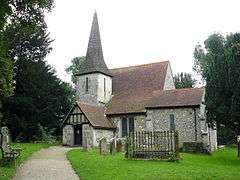
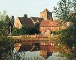
Elmbridge
.jpg)

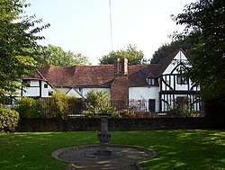
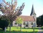
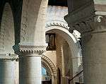
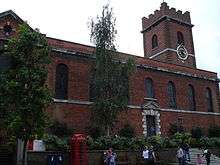
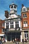
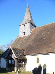
Guildford


_(2).jpg)
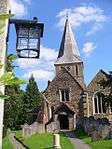


.jpg)
.jpg)
.jpg)
.jpg)

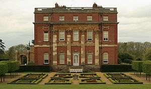
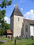
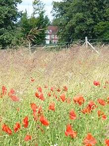
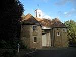
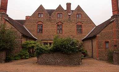
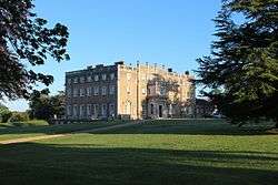
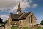
Mole Valley
| Name | Location | Type | Completed [note 1] | Date designated | Grid ref.[note 2] Geo-coordinates |
Entry number [note 3] | Image |
|---|---|---|---|---|---|---|---|
| Church of St Michael | Betchworth, REIGATE | Church | 13th century | 11 November 1966 | TQ2105949702 51°14′01″N 0°16′03″W / 51.233671°N 0.267418°W |
1378131 |  |
| Church of Saint Nicholas | Charlwood, HORLEY | Church | 15th century | 11 November 1966 | TQ2405041111 51°09′21″N 0°13′39″W / 51.155816°N 0.227564°W |
1248610 |  |
| Church of St John the Evangelist | Wotton, DORKING | Church | 13th century | 11 November 1966 | TQ1256847977 51°13′12″N 0°23′22″W / 51.219902°N 0.389525°W |
1294098 | 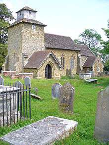 |
| Church of St Nicholas | Great Bookham, LEATHERHEAD | Church | 15th century | 7 September 1951 | TQ1350454660 51°16′47″N 0°22′26″W / 51.279786°N 0.374011°W |
1028641 | .JPG) |
| Slyfield Farmhouse, with attached garden wall | Fetcham (extreme north), LEATHERHEAD | Farmhouse | 18th century | 7 September 1951 | TQ1332757904 51°18′32″N 0°22′32″W / 51.308978°N 0.375519°W |
1028670 | 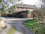 |
| Slyfield Manor or House, with attached garden walls | Fetcham (extreme north), LEATHERHEAD | House | 17th century | 7 September 1951 | TQ1335857878 51°18′31″N 0°22′30″W / 51.308738°N 0.375083°W |
1294510 | 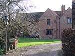 |
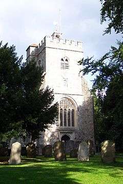
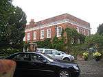
Reigate and Banstead
| Name | Location | Type | Completed [note 1] | Date designated | Grid ref.[note 2] Geo-coordinates |
Entry number [note 3] | Image |
|---|---|---|---|---|---|---|---|
| Church of St Bartholomew | Horley | Church | Early 14th century | 11 November 1966 | TQ2763342758 51°10′11″N 0°10′33″W / 51.169831°N 0.175774°W |
1378035 | _(May_2012).JPG) |
| Church of Jesus Christ and the Wisdom of God | Lower Kingswood, TADWORTH | Church | 1891 | 29 September 1983 | TQ2486353750 51°16′09″N 0°12′42″W / 51.269233°N 0.211549°W |
1029052 | 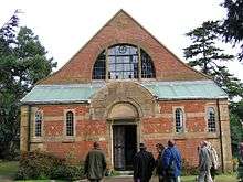 |
| Church of St Andrew | Merstham, REDHILL | Church | 13th century | 19 October 1951 | TQ2753152875 51°15′39″N 0°10′25″W / 51.260779°N 0.173638°W |
1294726 | .jpg) |
| Church of St Margaret | Hooley, COULSDON | Church | 12th century | 24 July 1954 | TQ2833956401 51°17′32″N 0°09′39″W / 51.292287°N 0.160799°W |
1029041 |  |
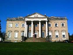
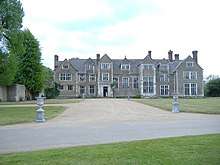
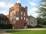
| Reigate Priory | Reigate | Priory | 13th century | 19 October 1951 | TQ2531850004 51°14′08″N 0°12′23″W / 51.235466°N 0.206341°W |
1188089 | 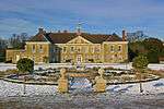 |
| Tadworth Court | Tadworth | Country House | c. 1700 | 12 August 1983 | TQ2387056468 51°17′38″N 0°13′29″W / 51.293878°N 0.224835°W |
1029004 |  |
Runnymede
| Name | Location | Type | Completed [note 1] | Date designated | Grid ref.[note 2] Geo-coordinates |
Entry number [note 3] | Image |
|---|---|---|---|---|---|---|---|
| Former Holloway Sanatorium (Crossland House, Virginia Park) | Virginia Water | Sanatorium | 1873-1885 | 17 November 1986 | TQ0026168257 51°24′16″N 0°33′36″W / 51.404489°N 0.55999°W |
1189632 | 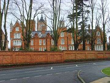 |
| Great Fosters | Stroude, EGHAM | House | c. 1550-1600 | 11 July 1951 | TQ0130569674 51°25′01″N 0°32′40″W / 51.417041°N 0.544582°W |
1294166 | 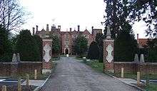 |
| Founder's Building, Royal Holloway College | Englefield Green, EGHAM | Courtyard | 1879-87 | 17 November 1986 | SU9974870506 51°25′29″N 0°34′00″W / 51.424795°N 0.566731°W |
1028946 | 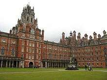 |
| Runnymede Park | Englefield Green, EGHAM | Country House | 1789-92 | 17 November 1986 | TQ0021471343 51°25′56″N 0°33′35″W / 51.432237°N 0.559794°W |
1028921 |  |
Spelthorne
| Name | Location | Type | Completed [note 1] | Date designated | Grid ref.[note 2] Geo-coordinates |
Entry number [note 3] | Image |
|---|---|---|---|---|---|---|---|
| Church of All Saints | Laleham, STAINES-UPON-THAMES | Church | Norman | 11 August 1952 | TQ0512968878 51°24′33″N 0°29′23″W / 51.409191°N 0.489847°W |
1298923 |  |
| Church of St Mary | Stanwell, STAINES-UPON-THAMES | Church | 13th century | 11 August 1952 | TQ0571174136 51°27′23″N 0°28′48″W / 51.456344°N 0.479915°W |
1187042 |  |
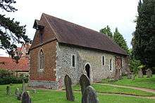
| Church of St Mary Magdalene | Littleton, SHEPPERTON | Church | 12th century | 11 September 1951 | TQ0706868639 51°24′24″N 0°27′43″W / 51.40668°N 0.462051°W |
1377699 | .jpg) |
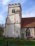
Surrey Heath
| Name | Location | Type | Completed [note 1] | Date designated | Grid ref.[note 2] Geo-coordinates |
Entry number [note 3] | Image |
|---|---|---|---|---|---|---|---|
| Church of St Lawrence | Chobham, WOKING | Church | 12th century | 28 February 1955 | SU9738061797 51°20′49″N 0°36′11″W / 51.346922°N 0.603164°W |
1377490 |  |
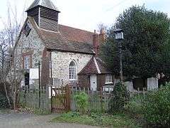
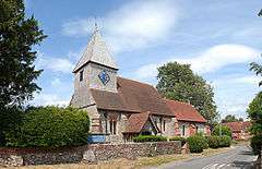
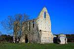
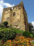
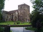
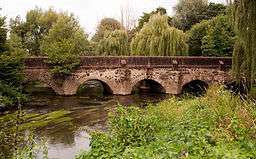
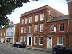
Tandridge


.JPG)


.JPG)


.jpg)
.jpg)
.JPG)
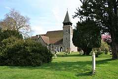
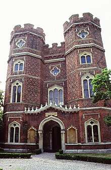
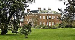
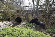
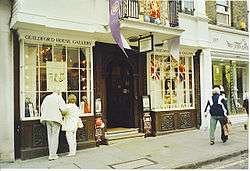
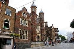
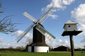
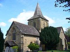
Waverley
_(14740855736).jpg)


_(4).JPG)


_-_geograph.org.uk_-_1543211.jpg)

Woking
| Name | Location | Type | Completed [note 1] | Date designated | Grid ref.[note 2] Geo-coordinates |
Entry number [note 3] | Image |
|---|---|---|---|---|---|---|---|
| Church of St Mary the Virgin | Byfleet, WEST BYFLEET | Church | 13th century | 22 July 1953 | TQ0628860407 51°19′58″N 0°28′33″W / 51.332833°N 0.47572°W |
1378241 | 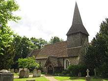 |
| Church of St Nicholas | Pyrford, WOKING | Church | 12th century | 22 July 1953 | TQ0398758231 51°18′49″N 0°30′34″W / 51.313699°N 0.509371°W |
1044721 |  |
| Church of St Peter | Old Woking, WOKING | Church | 1776 | 22 July 1953 | TQ0208456845 51°18′06″N 0°32′13″W / 51.301585°N 0.537062°W |
1044724 |  |
| Sutton Place including the service court yard | Woking | House | 17th century | 22 July 1953 | TQ0119553518 51°16′19″N 0°33′03″W / 51.271837°N 0.550751°W |
1236810 |  |
See also
Category:Grade I listed buildings in Surrey
Notes
- 1 2 3 4 5 6 7 8 9 10 The date given is the date used by Historic England as significant for the initial building or that of an important part in the structure's description.
- 1 2 3 4 5 6 7 8 9 10 Sometimes known as OSGB36, the grid reference is based on the British national grid reference system used by the Ordnance Survey.
- 1 2 3 4 5 6 7 8 9 10 The "List Entry Number" is a unique number assigned to each listed building and scheduled monument by Historic England.
References
External links
![]()
This article is issued from
Wikipedia.
The text is licensed under Creative Commons - Attribution - Sharealike.
Additional terms may apply for the media files.