Legionville, Minnesota
| Legionville, Minnesota | |
|---|---|
| Unincorporated community | |
 Legionville, Minnesota Location of Legionville within Crow Wing County  Legionville, Minnesota Legionville, Minnesota (the US) | |
| Coordinates: 46°26′50″N 94°11′58″W / 46.44722°N 94.19944°WCoordinates: 46°26′50″N 94°11′58″W / 46.44722°N 94.19944°W | |
| Country | United States |
| State | Minnesota |
| County | Crow Wing |
| Elevation | 1,214 ft (370 m) |
| Time zone | UTC-6 (Central (CST)) |
| • Summer (DST) | UTC-5 (CDT) |
| ZIP code | 56401 |
| Area code(s) | 218 |
| GNIS feature ID | 646585[1] |
Legionville is an unincorporated community in Crow Wing County, Minnesota, United States, near Brainerd.
References
Municipalities and communities of Crow Wing County, Minnesota, United States | ||
|---|---|---|
| Cities | 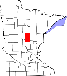 | |
| Townships | ||
| Unorganized territories | ||
| CDP | ||
| Unincorporated communities | ||
| Indian reservation | ||
| Ghost towns | ||
| Footnotes | ‡This populated place also has portions in an adjacent county or counties | |
This article is issued from
Wikipedia.
The text is licensed under Creative Commons - Attribution - Sharealike.
Additional terms may apply for the media files.