Lapeyrère Bay
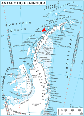
Location of Anvers Island in the Antarctic Peninsula region.
Lapeyrère Bay (64°23′S 63°15′W / 64.383°S 63.250°WCoordinates: 64°23′S 63°15′W / 64.383°S 63.250°W) is 7 nautical miles (13 km) long and 2 nautical miles (4 km) wide, and lies north of Gourdon Peninsula, indenting the northeast coast of Anvers Island, in the Palmer Archipelago, Antarctica. Its head is fed by Iliad Glacier.
The bay was roughly charted by the German expedition under Eduard Dallmann, 1873–74. It was recharted by the French Antarctic Expedition, 1903–05, and named by Jean-Baptiste Charcot for Rear Admiral Boué de Lapeyrère of the French Navy.[1]
References
- ↑ "Lapeyrère Bay". Geographic Names Information System. United States Geological Survey. Retrieved 2013-05-31.
![]()
This article is issued from
Wikipedia.
The text is licensed under Creative Commons - Attribution - Sharealike.
Additional terms may apply for the media files.