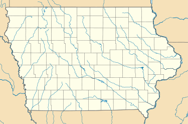
Langworthy, Iowa
| Langworthy, Iowa | |
|---|---|
| Unincorporated community | |
 Langworthy  Langworthy | |
| Coordinates: 42°11′28″N 91°13′27″W / 42.19111°N 91.22417°WCoordinates: 42°11′28″N 91°13′27″W / 42.19111°N 91.22417°W | |
| Country | United States |
| State | Iowa |
| County | Jones |
| Elevation | 860 ft (260 m) |
| Time zone | UTC-6 (Central (CST)) |
| • Summer (DST) | UTC-5 (CDT) |
| GNIS feature ID | 458223 |
Langworthy is an unincorporated community in north-central Jones County, Iowa, United States. It lies along U.S. Route 151 north of the city of Anamosa, the county seat of Jones County.[1] Its elevation is 860 feet (262 m).[2]
History
Langworthy was platted in 1858 by Col. W. T. Shaw.[3]
Langworthy's post office was established on 25 January 1875 and discontinued on 18 January 1974, at which time it was attached to the Monticello post office.[4] Although its post office is gone, Langworthy retains its own ZIP Code, 52252.[5]
References
- ↑ Rand McNally. The Road Atlas '08. Chicago: Rand McNally, 2008, p. 39.
- ↑ U.S. Geological Survey Geographic Names Information System: Langworthy, Iowa
- ↑ Corbit, Robert McClain (1910). History of Jones County, Iowa: Past and Present, Volume 1. S. J. Clarke Publishing Company. p. 624.
- ↑ U.S. Geological Survey Geographic Names Information System: Langworthy Post Office
- ↑ Zip Code Lookup
This article is issued from
Wikipedia.
The text is licensed under Creative Commons - Attribution - Sharealike.
Additional terms may apply for the media files.