Lamphelpat
| Lamphelpat | |
|---|---|
| town | |
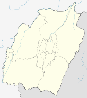
 Lamphelpat Location in Manipur, India  Lamphelpat Lamphelpat (India) | |
| Coordinates: 24°49′30″N 93°54′32″E / 24.825067°N 93.908987°ECoordinates: 24°49′30″N 93°54′32″E / 24.825067°N 93.908987°E | |
| Country |
|
| State | Manipur |
| District | Imphal West |
| Languages | |
| • Official | Meitei |
| Time zone | UTC+5:30 (IST) |
| Vehicle registration | MN |
| Website |
manipur |
Lamphelpat is the district headquarters of Imphal West district in the state of Manipur, India.[1] It is a suburb of Imphal city.
References
- ↑ "Lamphelpat". 2011 Census of India. Government of India. Archived from the original on 2 September 2017. Retrieved 2 September 2017.
This article is issued from
Wikipedia.
The text is licensed under Creative Commons - Attribution - Sharealike.
Additional terms may apply for the media files.