Lake Menomin
| Lake Menomin | |
|---|---|
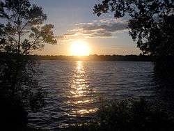 Sunset view of Lake Menomin from Evergreen Cemetery | |
| Location | Dunn County, Wisconsin |
| Coordinates | 44°53′02″N 091°55′45″W / 44.88389°N 91.92917°WCoordinates: 44°53′02″N 091°55′45″W / 44.88389°N 91.92917°W |
| Type | reservoir |
| Primary inflows | Red Cedar River |
| Primary outflows | Red Cedar River |
| Basin countries | United States |
| Surface area | 1,009 acres (408 ha) [1] |
| Max. depth | 34 ft (10 m) |
| Surface elevation | 814 feet (248 m) |
Lake Menomin is a reservoir on the Red Cedar River, in Dunn County, Wisconsin, USA.[2]
Along the lake's western and southern shores lies the city of Menomonie, the central business district of which is located at the far southern end of the lake, near the dam which forms it. Algae blooms regularly afflict the lake due to high phosphate levels from runoff. These blooms culminate in late summer when mats of foul smelling algae often gather in sheltered areas.
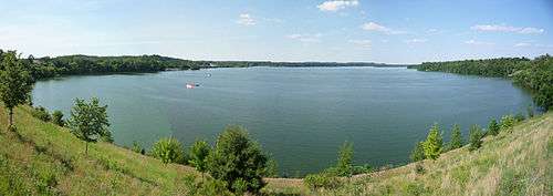
Lake Menomin from downtown Menomonie.
References
- ↑ "Report For Lake Menomin". USGNIS. Retrieved 3 January 2018.
- ↑ Hiking Trails, Mountain Bike Trails & Trail Maps | Trails.com
External links
This article is issued from
Wikipedia.
The text is licensed under Creative Commons - Attribution - Sharealike.
Additional terms may apply for the media files.